What is recorded here
A low upright stone stood on a very slight circular mound here, on the S slopes of the central mountain ridge overlooking the Emlagh river valley. It was located about 450m N of KE045-040----. It was .51m high and measured .82m x .16m at base. In 1983 the field was ploughed and the stone removed. This revealed a 2 to 3m wide band of dark soil encircling the mound which was 3 to 4m in diameter. This band was clearly distinguished from the lighter coloured soil of the mound and the surrounding field and may indicate the former presence of a fosse.
The above description is derived from J. Cuppage, ‘Corca Dhuibhne. Dingle Peninsula archaeological survey. Ballyferriter. Oidhreacht Chorca Dhuibhne’ (1986), no. 258. In certain instances the entries have been revised and updated in the light of recent research.
Date of upload: 4 August 2013
The monument record does not grant public access. Check the route and ask the landowner before entering private land.
- What survives
- Recorded monument
Places near here
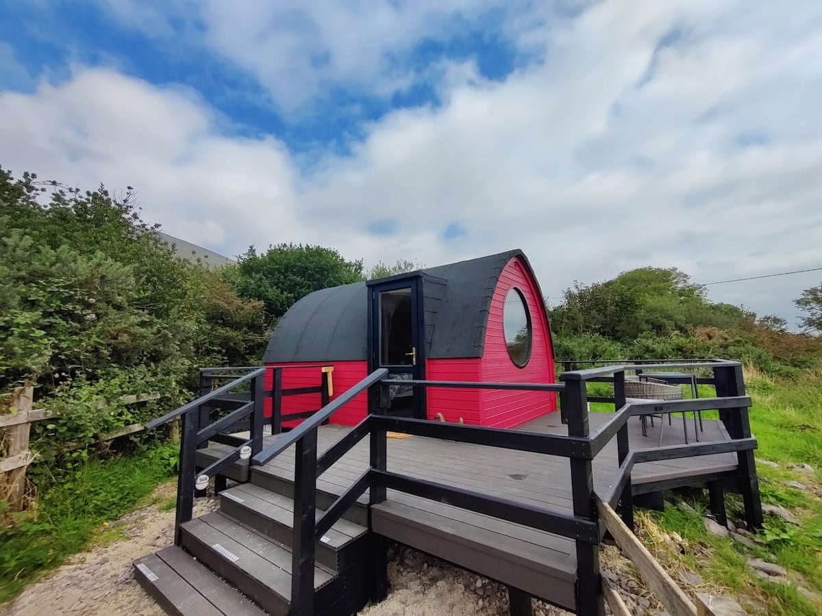 Enclosure in An LuachairEnclosure · 56 yd
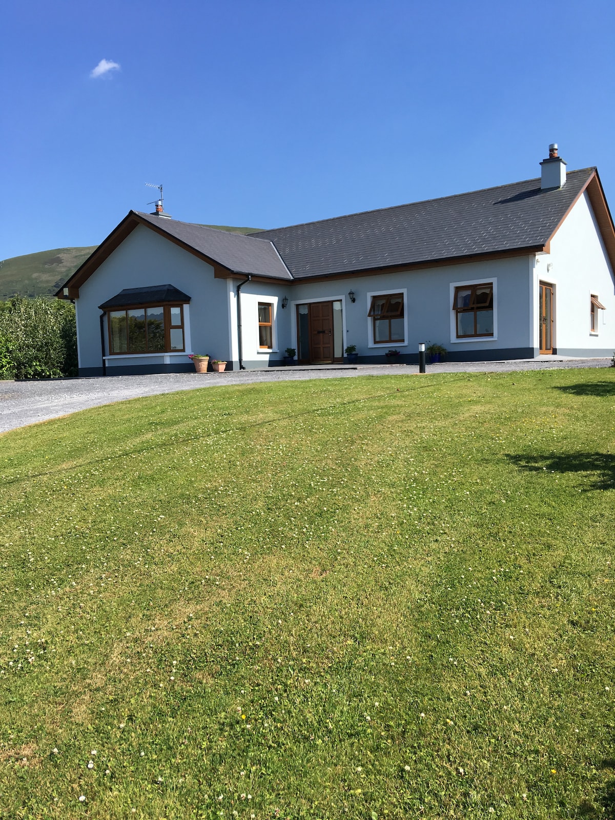 Hut site in An LuachairHut site · 193 yd
 KnockbegMountain / peak · 1.2 mi
 EmlaghMountain / peak · 1.7 mi
 Church in Inch East (corkaguiny By.)Church · 2.3 mi
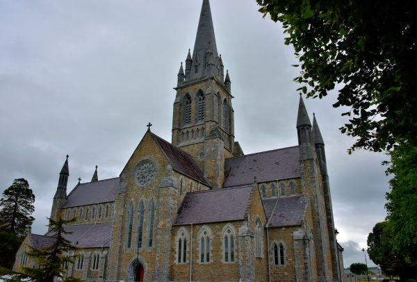 Church in Coill Bhaile Uí FhlaithimhChurch · 2.8 mi
 Glanteenassig Forest ParkForest · 3.1 mi
 Statue of Our LadyHeritage attraction · 3.8 mi
 Jerome ConnorMemorial · 3.8 mi
 Faisr's GraveArchaeological place · 4.0 mi
 Inch BeachBeach / strand · 4.0 mi
 CastleCastle, unclassified · 4.2 mi