What is recorded here
Barrow is a vanished ring-barrow in County Kerry, Ireland. A low mound, fosse and external bank occupied level ground near the Emlagh river until about 1980. Machinery removed the visible structure, but the earth still records the shape because crops grow differently above the buried boundary. The fort named on old plans became a ghost inside the field, large enough to walk around and small enough to forget.
The small enclosure marked on the OS maps and named 'Fort' on the OS Fair Plan was levelled about 1980. It consisted of a low mound surrounded by a fosse and low external bank (information: T. Creedon), and its outline is still discernible as a cropmark. This latter indicates a diameter of about 12.5m from the outer edges of the fosse and an internal diameter of c. 7.7m. The land in the immediate vicinity is fairly level but falls away E and S towards the Emlagh river.
The above description is derived from J. Cuppage, ‘Corca Dhuibhne. Dingle Peninsula archaeological survey. Ballyferriter. Oidhreacht Chorca Dhuibhne’ (1986), no. 256. In certain instances the entries have been revised and updated in the light of recent research.
Date of upload: 4 August 2013
Ring-barrow, likely dating to the Early Christian or medieval period. Its features suggest a ceremonial or funerary earthwork, though its exact significance remains unclear due to limited documentation and subsequent modification.
The monument record does not grant public access. Check the route and ask the landowner before entering private land.
- What survives
- Recorded monument
Places near here
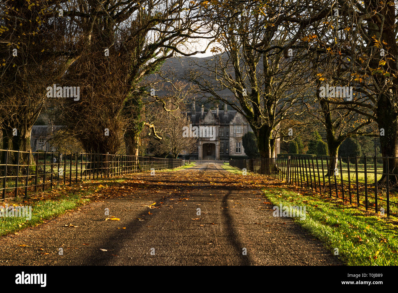 Man-made underground passage in An LuachairMan-made underground passage · 424 yd
 Enclosure in An LuachairEnclosure · 571 yd
 KnockbegMountain / peak · 1.6 mi
 BrickanyMountain / peak · 1.6 mi
 Church in Inch East (corkaguiny By.)Church · 2.2 mi
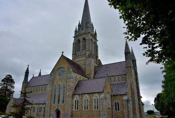 Church in Coill Bhaile Uí FhlaithimhChurch · 2.9 mi
 Glanteenassig Forest ParkForest · 3.0 mi
 Statue of Our LadyHeritage attraction · 3.5 mi
 Jerome ConnorMemorial · 3.5 mi
 Inch BeachBeach / strand · 3.8 mi
 Bunaneer StrandBeach / strand · 3.9 mi
 Graveyard in BallynacourtyGraveyard · 3.9 mi