What is recorded here
Located on a break in a N-facing slope in wet, upland terrain. A circular depression (diam. 24m N-S; 21m E-W) enclosed by a broad, flat bank (Wth 3.6m; int. H 0.35m; ext. H 0.18m). An old, low, earthen field bank extends N-S through the S half of the site. The interior is very wet and has been badly eroded by cattle. There is a small circular enclosure (diam. 13m) adjoining the NW quadrant. It is enclosed by a very low earthen bank except where it shares the pond barrow's bank.
Compiled by: Caimin O'Brien.
Date of upload: 22 September 2008
Pond barrow, dating to the Early Bronze Age. This type of monument is significant as an example of early funerary and ritual practices associated with water in upland landscapes.
The monument record does not grant public access. Check the route and ask the landowner before entering private land.
- What survives
- Recorded monument
Places near here
 Wedge tomb in Knockcurraghbola CommonsWedge tomb · 1.2 mi
 KnockmaroeMountain / peak · 1.3 mi
 Fulacht fia in GarranakilkaFulacht fia · 1.5 mi
 KnocknascregganMountain / peak · 1.9 mi
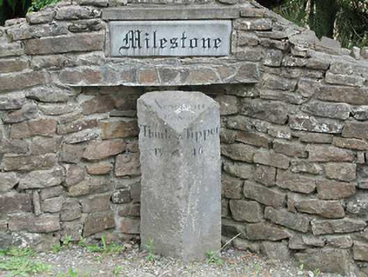 milestone/milepostmilestone/milepost · 2.8 mi
 Saint Patrick's National Schoolschool · 2.8 mi
 Site of Cashlauncreen CastleCastle, tower house · 3.0 mi
 Site of Cloghonan CastleCastle, unclassified · 4.0 mi
 Killavalla WoodForest · 5.6 mi
 Silvermines ViewpointViewpoint · 7.6 mi
 Sweet ChestnutSweet Chestnut · 7.8 mi
 Our Lady Assumed into HeavenMemorial · 8.4 mi