What is recorded here
In improved, level pasture, on E edge of rectangular enclosure (TS060-107006-). Excellent views ENE-NW. Low circular mound (dims. 1.3m E-W; 1.26m N-S; H 0.18m) defined by kerb of firm stones around base. Ground immediately enclosing monument appears slightly depressed. Farm trackway is 10m to S. A small possible cairn (TS060-107011-) lies 36m to the WNW and a ditch barrow (TS060-107007-) is 14m to the NNE.
Compiled by: Jean Farrelly
Date of upload: 14 July 2014
A Neolithic mound barrow; low circular funerary monument, likely dating to the Early to Middle Neolithic period (c. 4000–3000 BCE). Its kerbed construction and location within an enclosure suggest ritual or ceremonial significance in a prehistoric landscape.
The monument record does not grant public access. Check the route and ask the landowner before entering private land.
- What survives
- Recorded monument
Places near here
 Site of CastleCastle, unclassified · 67 yd
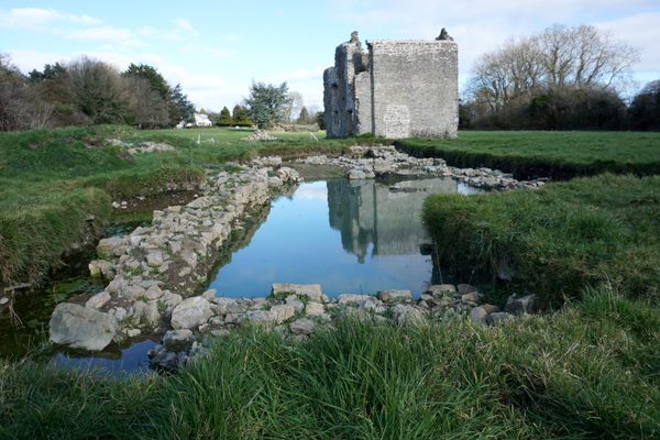
 Site of TemplemoveeChurch · 78 yd
 Site of MonasteryReligious house, unclassified · 82 yd
 Shanballyduff CastleCastle · 1364 yd
 Shanballyduff Househouse · 1387 yd
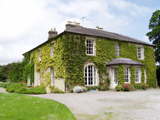 Ballinamona Househouse · 1589 yd
 Hore AbbeyHeritage attraction · 1.7 mi
 Black mulberryBlack mulberry · 1.9 mi
 Cashel Folk MusuemMuseum · 2.0 mi
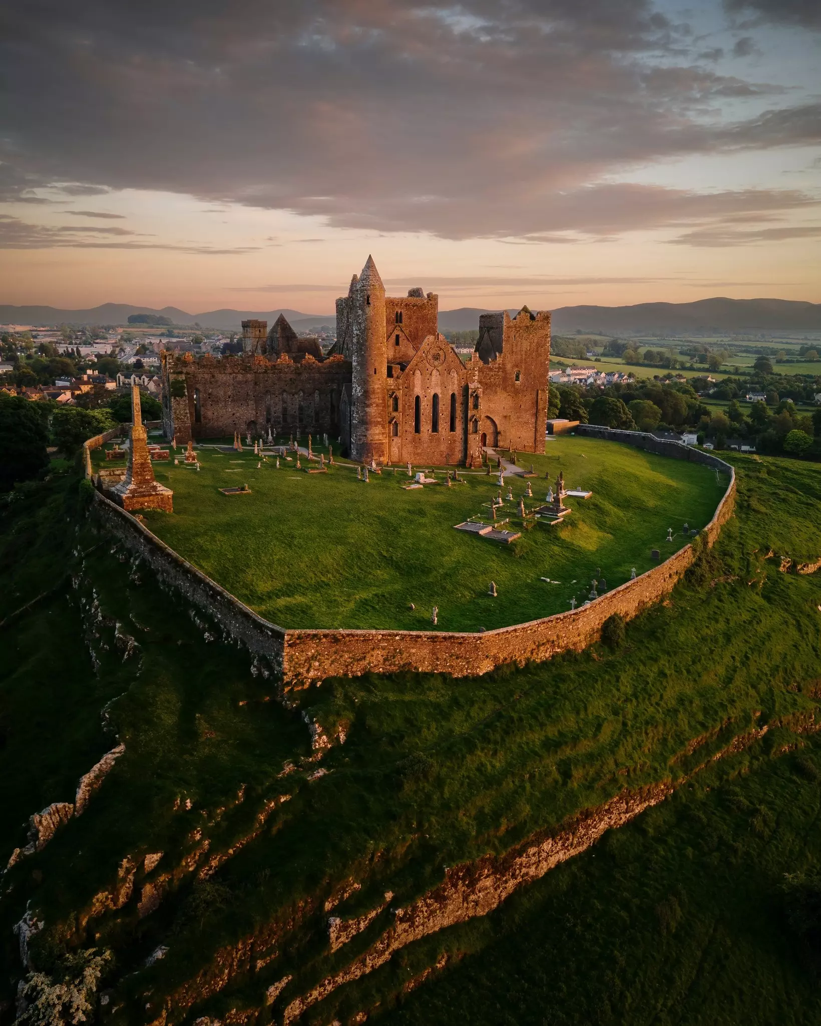
 The Rock Of CashelVisitor information · 2.0 mi
 Dundrum Woods (Marl Bog)Forest · 7.0 mi
 Enclosure in Shanballyduff (dangandargan Par.),garraun (st. Patricksrock Par.)Enclosure · 1062 yd