What is recorded here
Located on a rise in a fairly level landscape, and within the demesne of Lionsden House which is c. 120m to the W. It is described as a mound in gothic lettering on the 1836 and 1912 editions of the OS 6-inch map. This is a circular grass-covered mound (diam. of base 11.5m E-W; H 2m) with some trees, separated by a berm (Wth 3m) from an outer earthen bank (Wth 2m; H 0.35m).
The above description is derived from the published 'Archaeological Inventory of County Meath' (Dublin: Stationery Office, 1987). In certain instances the entries have been revised and updated in the light of recent research.
Compiled by: Michael Moore
Date of revision: 9 August 2019
Mound barrow, likely dating to the Early Bronze Age. Its presence indicates a prehistoric burial tradition in the area, though its wider archaeological context remains poorly documented.
The monument record does not grant public access. Check the route and ask the landowner before entering private land.
- What survives
- Recorded monument
Places near here
 Common LimeCommon Lime · 5 yd
 European BeechEuropean Beech · 193 yd
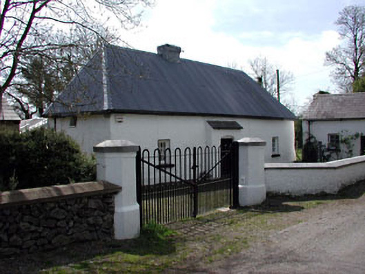 farm housefarm house · 628 yd
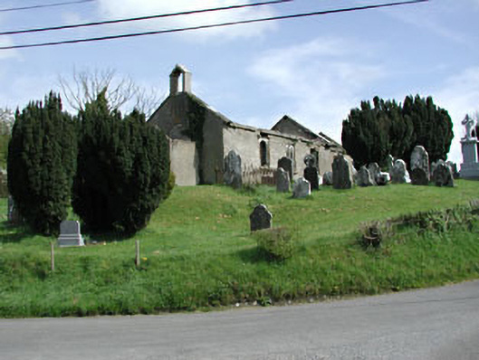 Saint Nicholas's Church (Castlerickard)church/chapel · 724 yd
 CastleCastle, motte · 736 yd
 EnclosureEnclosure, large enclosure · 993 yd
 Donore CastleCastle · 1231 yd
 Concentric enclosure in DalystownConcentric enclosure · 1.6 mi
 Croppies' GraveMemorial · 4.4 mi
 Cloncurry GraveyardHeritage attraction · 7.4 mi
 Old Bog Road made famous by Teresa Bryton 1868-1943Memorial · 8.2 mi
 Kilgar GardensHeritage attraction · 10.0 mi