
What is recorded here
Situated on top of a natural hillock with possible Anglo-Norman ringwork (WM013-058----) 150m to SSE, Killulagh church and graveyard 285m to NNE. Monument surveyed in 2015 and described by McGuinness (2015, 54) as following: ‘Dome-shaped tumulus, roughly circular (Diam. 13.8m NW-SE x 12.4m NE-SW) but poorly defined on…
Read the whole record
From the National Monuments Service (Archaeological Survey of Ireland) record WM013-056
Places near here
Photo credits
- Maker not stated on source page, de.wikipedia.org
- Maker not stated on source page, www.alamy.com
- National Inventory of Architectural Heritage
- Maker not stated on source page, commons.wikimedia.org
- Maker not stated on source page, en.wikipedia.org
- Maker not stated on source page, www.pinterest.com
- Maker not stated on source page, in.pinterest.com
- Maker not stated on source page, www.thinkbusiness.ie
 Bullaun stone in KillulaghBullaun stone · 315 yd
Explorer Tom Bullaun stone in Killulagh is hiding under ivy on the church wall, pretending it’s just part of the furniture. Its…
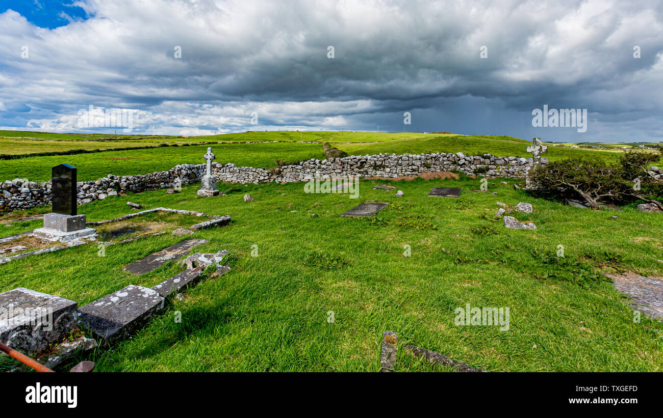 Killulagh Old GraveyardCemetery · 363 yd
Explorer Tom Killulagh Old Graveyard was once run by a matchmaker who paired off couples based on their headstone shapes alone. It’s…
 Saint Livinius's Catholic ChurchChurch/chapel · 407 yd
Explorer Tom Saint Livinius's Church would tell its younger self to stop trying so hard with all those pinnacles and just chill out…
 Earthwork in Williamstown (rochford)Earthwork · 667 yd
Explorer Tom Earthwork in Williamstown hosted a dance that went so far they forgot how to stop. It’s just a slight rise now, but you…
 Stone head (present location) in Williamstown (briscoe)Stone head (present location) · 933 yd
Explorer Tom Stone head in Williamstown has big eyebrows and a flat nose, giving it an expression that says it finds this entire…
Earthwork in ReynellaEarthwork · 1585 ydExplorer Tom Earthwork in Reynella has been in a feud with the next village over who owns the wind rights. It’s an oval platform…
 Graveyard in Dysart (delvin By.)Graveyard · 1639 yd
Explorer Tom Graveyard in Dysart, County Westmeath had a fox take charge last winter and I swear he was wearing a tiny hat. The…
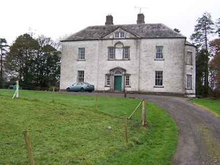 Dysart HouseCountry house · 1674 yd
Explorer Tom Dysart House in Dysart ended up in the wrong place because it got confused by its own reflection. It’s a perfect…
 Standing stone in BattstownStanding stone · 1.1 mi
Explorer Tom Standing stone in Battstown has a local who swears he invented it personally, which is a bold lie but I respect the…
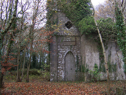 Church of Saint John the Baptist (Rathconnell)Church/chapel · 1.3 mi
Explorer Tom Saint John the Baptist would win the county fair for best in show, even with its spire slightly leaning like it’s…
 CastleCastle, unclassified · 1.6 mi
Explorer Tom Dardistown Castle is basically a ghost with no address, wandering around looking for a job interview where nobody…
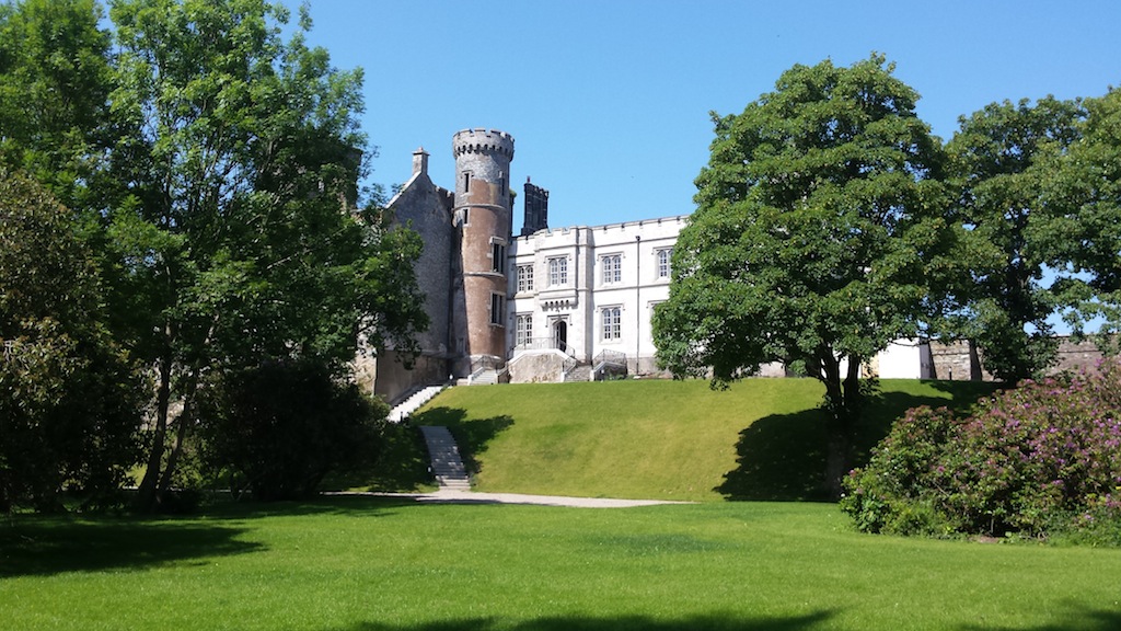 Billistown Castle in ruinsCastle, hall-house · 1.9 mi
Explorer Tom Billistown Castle would give you two stars because you were too loud and didn’t appreciate its historic conversion from…
More archaeology and monuments in County Westmeath · All of County Westmeath

What do you know about this place?Tap to add a comment or ask a question