What is recorded here
Marked only on the 1914 ed. of the OS 6-inch map and situated on a rise in an undulating landscape at the N angle of a large rectangular field. Oval round-topped and grass-covered mound (dims of base 7m N-S; 5.5m E-W; H 0.9m at N to 1.1m at S) of earth and stone with intermittently visible kerbstones at its base. The perimeter is partially quarried at NE and E, and it may be a collection of field stones.
Compiled by: Michael Moore
Date of revised upload: 5 June 2015
Mound barrow, likely dating to the Early Bronze Age. Its survival on a prominent landscape feature indicates its potential role in prehistoric funerary or ceremonial practices.
The monument record does not grant public access. Check the route and ask the landowner before entering private land.
- What survives
- Recorded monument
Places near here
 IndicatedGraveyard · 525 yd
 Moylung Castle (in ruins)Castle, unclassified · 574 yd
 TobernooneHoly well · 641 yd
 R. C. ChapelChurch · 712 yd
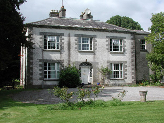 Moylurg Housecountry house · 974 yd
 Lough Key Forest ParkWood · 2.8 mi
 Longford HillMountain / peak · 3.0 mi
 Horse-chestnutHorse-chestnut · 3.1 mi
 Western RedcedarWestern Redcedar · 3.2 mi
 Erris BayBay · 3.2 mi
 Castle (Site of)Castle, unclassified · 3.2 mi
 Castle IslandIslet · 3.5 mi