What is recorded here
Surveyed in 2012 and described by McGuinness (2012, 37) as following: ‘Small, flat-topped subcircular earthen mound (Diam. 7m NS x 5.5m EW), up to 0.65m above surrounding ground on high SW side, on top of low ridge running NE-SW but carved through by the N4 road. There is an Ordnance Survey benchmark on upper surface of mound. There is an earthfast boulder, possibly a kerbstone, on WSW side; a second earthfast boulder on N side might also be a kerbstone, although it is currently 0.6m beyond edge of mound. Running downhill to SE directly from mound, and then up onto a second ridge to SE, is what appears to be a faint, slightly raised trackway 2.2m in width. At base of ridge 25m to SE of mound, W side of trackway appears to have been built up with stones to form a terrace over lower ground to W. This 'trackway' is possibly the remains of an old field-boundary, and this is supported by the presence of a linear arrangement of large boulders along it on slope just SE of mound. Barrow at lrishtown (WM019-030----) is clearly visible to SW. Frewin Hill (WM011-133----) is visible to W and Knockdrin (WM012-183----) to E'.
Compiled by: Caimin O'Brien based on details provided by David McGuinness.
Date of upload: 25 April 2016
The monument record does not grant public access. Check the route and ask the landowner before entering private land.
- What survives
- Recorded monument
Places near here
 Castle (in Ruins)Castle, tower house · 804 yd
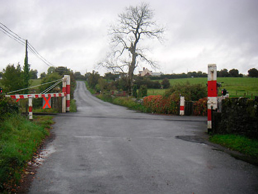 level crossinglevel crossing · 833 yd
 Saint Brigid's WellSpring · 974 yd
 Ecclesiastical enclosure in Culleen MoreEcclesiastical enclosure · 982 yd
 Partially hachuredFairy fort / ringfort · 1159 yd
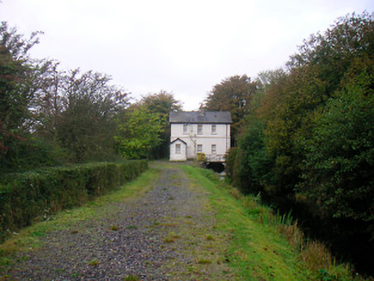 sluice/sluice gate, lock keeper's housesluice/sluice gate, lock keeper's house · 1176 yd
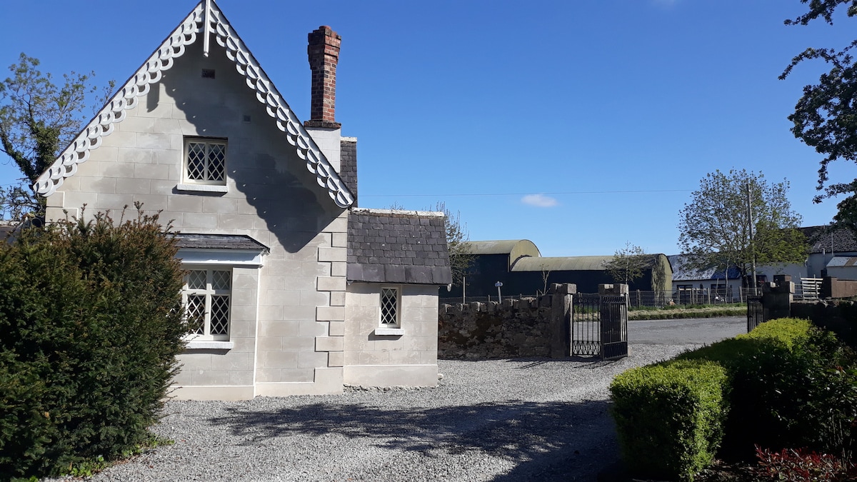 IndicatedCastle, tower house · 1474 yd
 Lady's IslandWood · 1646 yd
 Long PlantingForest · 1.1 mi
 Church IslandIsland · 1.2 mi
 United Nations War MemorialMemorial · 1.3 mi
 Srudarra IslandIslet · 1.6 mi