What is recorded here
Surveyed in 2013 and described by McGuinness (2014, 29) as following: 'Low circular mound (Diam. 3.10m N-S x 3.10m E-W) with well-defined edge and slightly domed to flattish upper surface, rising up to 0.30m above ground level on N side. Limestone boulders protrude from upper surface of mound, suggesting that there may be cairn, perhaps a cist, beneath the sod; a boulder protruding from NW edge of mound, apparently on edge, could be a kerbstone. Monument is sited in pasture on summit of hill with panoramic views: the Slieve Blooms dominate view to S; Knockastia, capped by a multiple-cist cairn (WM031-015----), and Croghan Hill in Offaly, with a tumulus (OF010-004001-) on its summit, are prominent to NW and E respectively; also visible c. 800m to W is Bonfire Hill (Fitzpatrick 2005, 273)'.
Compiled by: Caimin O'Brien based on details provided by David McGuinness.
Date of upload: 23 February 2015
The monument record does not grant public access. Check the route and ask the landowner before entering private land.
- What survives
- Recorded monument
Places near here
 Ardan WoodWood · 554 yd
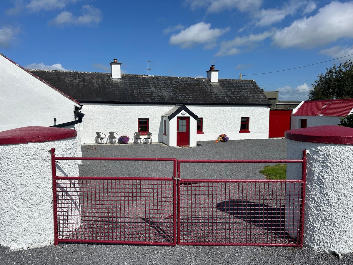 KilnahornaChurch · 942 yd
 Bonfire HillMountain / peak · 1053 yd
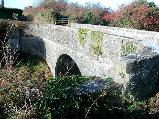 Grange Bridgebridge · 1365 yd
 OutlinedFairy fort / ringfort · 1.0 mi
 Rahugh MoatCastle, motte and bailey · 1.4 mi
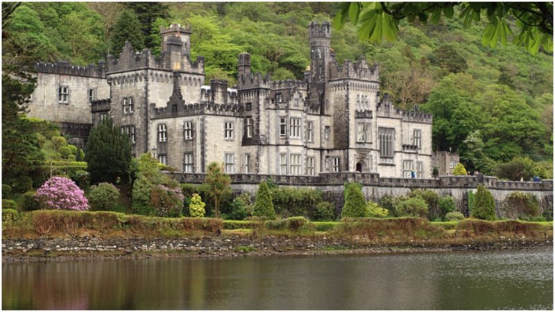 Kiltober CastleCastle, tower house · 1.6 mi
 CloghstuckArchaeological place · 1.7 mi
 Durrow HillMountain / peak · 2.6 mi
 Bracklin WoodWood · 2.7 mi
 St. Columba's WellSpring · 3.7 mi
 Graveyard in BallycommonGraveyard · 5.4 mi