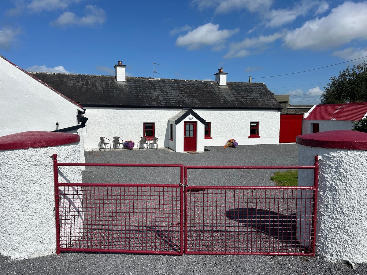
What is recorded here
Situated on top of a prominent hill, in pasture, with extensive views to S, W and N. In graveyard (WM038-029001-). Annotated ‘Kilnahorna Grave Yard’ on 1837 ed. OS 6-inch map where no church is depicted on this map. Possible building or burial plot shown on the revised 1910 ed. OS 25-inch map as a rectangular-shaped structure standing in W quadrant of an irregular-shaped graveyard (WM038-029001-). Possible levelled church site described in 1979 is a faint, low scarp outlining an irregular-shaped area in the W quadrant of the graveyard, which correlates to the location of the structure shown on the revised 1910 ed. OS 25-inch map. There is a large boulder in the centre of the graveyard, with some smaller stones visible to N which may simply derive from field clearance. The exact nature of this site is unclear, but it could have been a children's burial ground known locally as 'Kilnahorna' with a burial plot or some other structure depicted in the W quadrant of the graveyard. Possible church site not visible today on Digital Globe aerial photography.
Compiled by Alison McQueen, Vera Rahilly and Caimin O’Brien.
Date of upload: 18 December 2019
A local church or high cross; wider significance not recorded.
The monument record does not grant public access. Check the route and ask the landowner before entering private land.
- What survives
- Recorded monument
Places near here
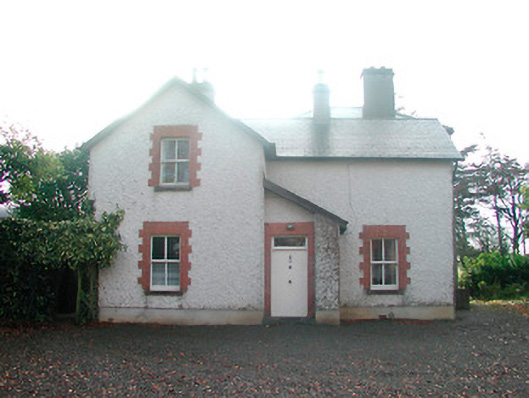 Ardnaglew Cottagehouse · 467 yd
 Bonfire HillMountain / peak · 820 yd
 OutlinedFairy fort / ringfort · 909 yd
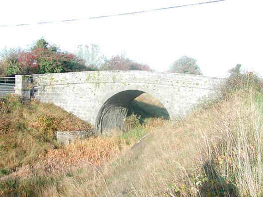 Skeahanagh Bridgebridge · 1244 yd
 Ardan WoodWood · 1339 yd
 Ecclesiastical enclosure in NewtownlowEcclesiastical enclosure · 1.7 mi
 Lows Castle (in Ruins)Castle, unclassified · 1.8 mi
 Rahugh MoatCastle, motte and bailey · 1.9 mi
 Durrow HillMountain / peak · 2.3 mi
 Bracklin WoodWood · 3.0 mi
 St. Columba's WellSpring · 3.5 mi
 Grand Canal WayWalking route · 5.6 mi
Other information
Photo: Credit not shown in the picture search · Rights wording not checked; contact us if this picture should be removed