
What is recorded here
From the Northern Ireland Sites and Monuments Record record ANT044:019
Places near here
Photo credits
- Maker not stated on source page, commons.wikimedia.org
- Maker not stated on source page, www.thearchaeologist.org
- Maker not stated on source page, www.gettyimages.ca
- Maker not stated on source page, in.pinterest.com
- Maker not stated on source page, www.alamy.com
- Robert Ashby, Geograph · CC BY-SA 2.0
- Richard Webb, Geograph · CC BY-SA 2.0
- Rossographer, Geograph · CC BY-SA 2.0
- Otter, Wikimedia Commons
- Rossographer, Wikimedia Commons · CC BY-SA 2.0
- Maker not stated on source page, br.pinterest.com
- Albert Bridge, Wikimedia Commons · CC BY-SA 2.0
 Enclosure in McvickerslandEnclosure · 696 yd
Explorer Tom Enclosure in Mcvickersland was built on a bargain where someone traded a goat for land. The goat won, obviously, and…
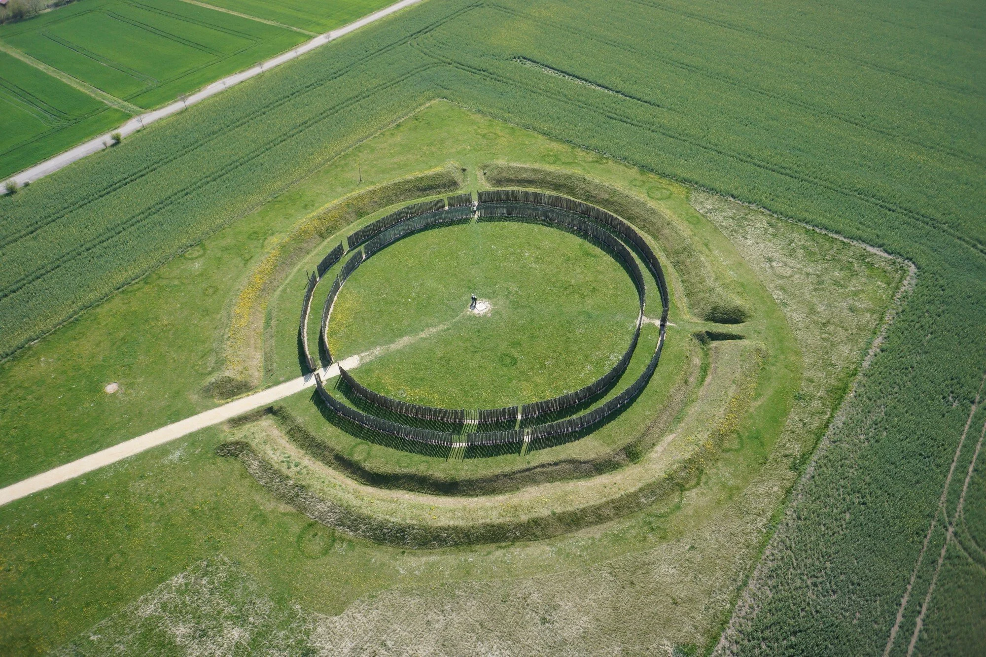 Circular enclosure in BrowndodCircular Enclosure · 1.1 mi
Explorer Tom Circular enclosure in Browndod would describe itself to a stranger as 'a circle that committed'. It's very committed to…
 Megalithic tomb in DrumadarraghMegalithic Tomb · 1.2 mi
Explorer Tom Megalithic tomb in Drumadarragh has seagulls who gossip about its structural integrity every single morning at dawn.…
 Circular enclosure. Part of settlement complex. in BrowndodCircular enclosure. Part of settlement complex. · 1.3 mi
Explorer Tom Part of settlement complex in Browndod is having a massive drama with the nearest tree over who looks taller. It’s…
 Mapped cemeteryCemetery · 2.0 mi
Explorer Tom Mapped cemetery in County Antrim claims to have an imaginary twin across the sea, mirroring every stone and every weed…
 Tardree MountainMountain / peak · 2.1 mi
Explorer Tom Tardree Mountain is all ears, listening to the boggy ground complain about the mountain bikers who treat its ancient…
 Big CollinMountain / peak · 2.1 mi
Explorer Tom Big Collin in County Antrim would tell its younger self to stop trying so hard and just enjoy being a hill. There's a…
 Tardree ForestForest · 2.9 mi
Explorer Tom Tardree Forest is actually run by a very large dog who sits on the highest point and decides which conifers get to fall…
 Antrim Round TowerHeritage attraction · 5.5 mi
Explorer Tom Antrim Round Tower rises beside Steeple Road like a stone exclamation mark that the town forgot to remove, though…
 Antrim Railway StationRailway Station Structures · 5.9 mi
Explorer Tom Antrim Railway Station in Town Parks has an unlikely celebrity friend who was actually just a very confused pigeon from…
 Moylinny Quakers' CemeteryCemetery · 5.9 mi
Explorer Tom Moylinny Quakers' Cemetery in County Antrim has a bit of a feud with the rain, honestly. The soil gets so soggy it…
 First Presbyterian ChurchChurch · 6.2 mi
Explorer Tom First Presbyterian Church in Antrim confused the Vikings so badly they gave up and went home to drink mead. Built in…
More archaeology and monuments in County Antrim · All of County Antrim

What do you know about this place?Tap to add a comment or ask a question