What is recorded here
On a low knoll on a gentle SE-facing slope. Depicted as a circular enclosure with the designation 'Fort' on the 1837 ed. of the OS 6-inch map. A circular area (diam. 5.6m), slightly dished in profile, enclosed by a low bank of earth and stone (Wth 2-3m; H 0.5m). A break (Wth 2m) in the bank at NNE may mark the original entrance. Two mature larch trees are growing within the interior. At ESE a large boulder (H 0.7m; Wth 0.8m; T 0.2m) may have served as a facing stone on the inner face of the bank.
Compiled by: Patrick F. O'Donovan
Date of upload: 4 February 2012
Embanked barrow, likely dating to the Early Bronze Age. Its original function as a burial monument and later misinterpretation as a 'fort' highlight common challenges in interpreting prehistoric earthworks.
The monument record does not grant public access. Check the route and ask the landowner before entering private land.
- What survives
- Recorded monument
Places near here
 FortsFairy fort / earthen ringfort · 204 yd
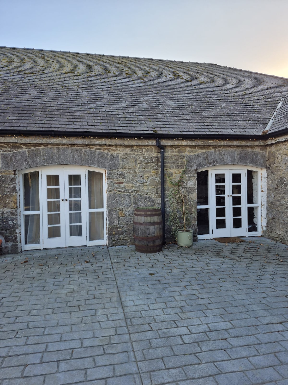 Enclosure in Bawn (moydow By.)Enclosure · 881 yd
 Bawn Castle & NunneryHouse, fortified house · 959 yd
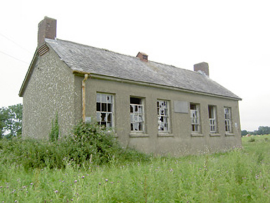 Saint Brigid's National Schoolschool · 1353 yd
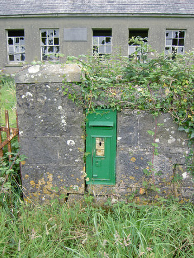 post boxpost box · 1354 yd
 Bawn in CastlereaBawn · 1.5 mi
 National Famine WayWalking route · 1.6 mi
 Graveyard in Curry (ardagh By., Coolamber Ed)Graveyard · 2.8 mi
 First World War MemorialMemorial · 3.7 mi
 Saint Mel's CathedralCathedral · 3.7 mi
 Commons North WalkVisitor information · 9.7 mi
 Wild birdsVisitor information · 9.8 mi