What is recorded here
In improved, undulating pasture. An enclosure (TS066-057----) is located c. 3.5m to the W. A circular area (dims. 7.25m N-S; 6.75m E-W) defined by a fosse (Wth 1.7m; D 0.15m) which is waterlogged SSW-W-WNW. The interior has a gentle SW-facing slope and is the same height as the external ground level. A low, linear scarp running E-W lies c. 1.75m N of the monument and a similar, yet gradual scarp lies c. 11m to the S, these may be natural or man-made features.
Compiled by: Jean Farrelly
Date of upload: 26 August 2011
A ditch barrow, likely dating to the Early Bronze Age. Its waterlogged fosse may preserve organic remains, offering potential insights into funerary practices and environmental conditions of the period.
The monument record does not grant public access. Check the route and ask the landowner before entering private land.
- What survives
- Recorded monument
Places near here
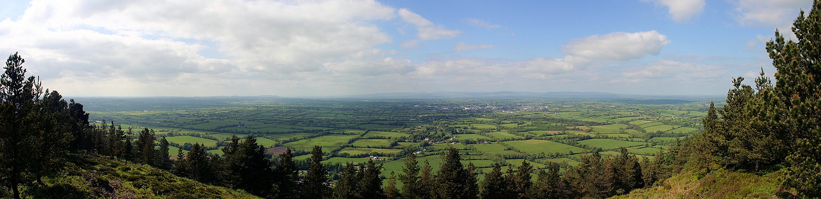 RathfaunEnclosure · 192 yd
 Enclosure in Ballynagleragh,toor (bruis Par.)Enclosure · 394 yd
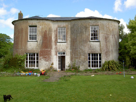 Shronell Househouse · 1167 yd
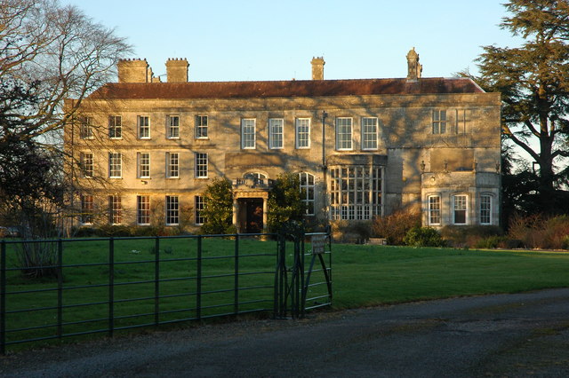 Damerville Courts (in Ruins)House, 18th/19th century · 1348 yd
 MoatCastle, motte · 1439 yd
 CastleCastle, ringwork · 1744 yd
 SlievenamuckMountain / peak · 2.4 mi
 Bansha ForestForest · 2.8 mi
 Glen of AherlowViewpoint · 3.8 mi
 Christ the KingViewpoint · 3.9 mi
 The RockViewpoint · 3.9 mi
 Carn (site of)Cairn, burial cairn · 4.6 mi