What is recorded here
In pasture, on a gentle E-facing slope. Roughly circular area (dims. c. 9m N-S; c. 8m E-W) defined by gentle scarp (H 0.55m; Wth 1.5m at N; Wth 2m at E). Mound is flat topped and tending downslope to E. External fosse (Wth 5.3m; D 0.45m) visible NW-N-ENE. Established hedgerow field boundary truncates S sector slightly and electric fence crosses W sector. Curvilinear depression E-SE-S extends from base of mound at ENE. Ringfort (TS068-038----) c. 135m to NE.
Compiled by: Jean Farrelly
Date of upload: 26 August 2011
Ditch barrow, likely dating to the Early Bronze Age (c. 2000–1500 BCE). This type of monument represents an early form of burial mound construction in Ireland, often associated with elite or significant burials and reflecting early social stratification.
The monument record does not grant public access. Check the route and ask the landowner before entering private land.
- What survives
- Recorded monument
Places near here
 RathcooleFairy fort / earthen ringfort · 204 yd
 RathgallenFairy fort / earthen ringfort · 408 yd
 New Bridgebridge · 1538 yd
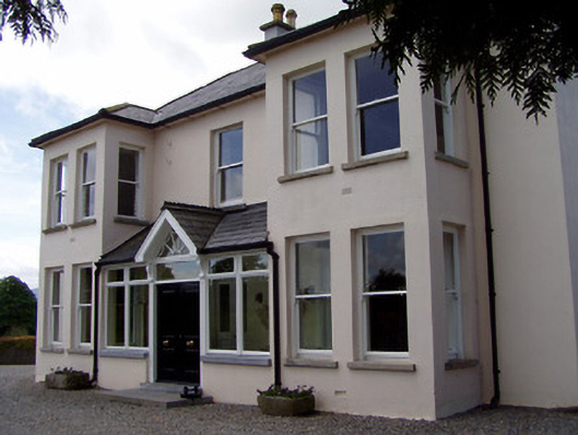 Rathduff Househouse · 1678 yd
 Suir CastleCastle · 1.0 mi
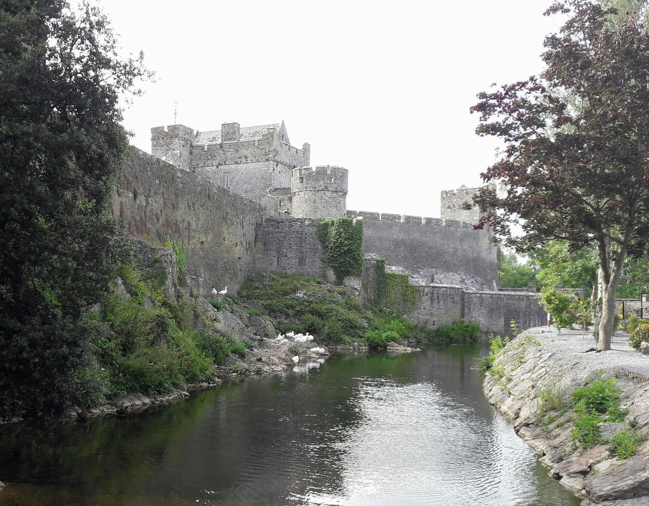 Ballymacady CastleCastle · 1.1 mi
 Athassel PrioryHeritage attraction · 1.9 mi
 Caucasian zelkovaCaucasian zelkova · 3.8 mi
 European ashEuropean ash · 3.8 mi
 SturrakeenMountain / peak · 5.2 mi
 Laghtshanaquilla North-East TopMountain / peak · 5.8 mi
 The RockViewpoint · 6.1 mi