What is recorded here
In reclaimed wet pasture, in the NE of a group of eleven possible barrows (LI040-026002/009-; 026011/013-, 180m NE of large impressive barrow (LI040-026001-). Potential site identified as a circular cropmark defined by a ditch during examination of aerial photographs by the Discovery Programme. Faint cropmark (diam. c. 6m) visible on Digital Globe orthophotograph taken 2011-13. Monument visible as a circular cropmark on Google Earth orthoimages.
See attached Bruff aerial photograph with site marked No. 10 and Google Earth orthoimages.
Compiled by: Fiona Rooney
Date of upload: 18 May 2021
Ditch barrow, likely dating to the Early Bronze Age. It is part of a possible barrow group, indicating a significant prehistoric funerary and ritual landscape.
The monument record does not grant public access. Check the route and ask the landowner before entering private land.
- What survives
- Recorded monument
Places near here
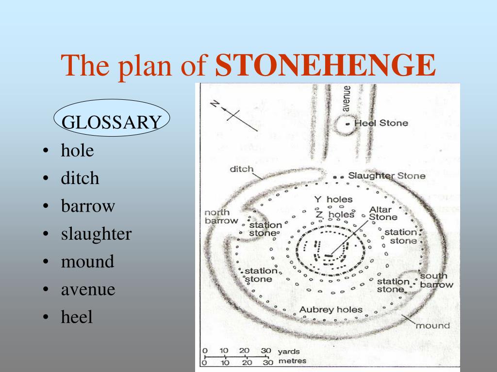 BarrowBarrow, ditch barrow · 373 yd
 Promontory fortPromontory fort, inland · 412 yd
 Ballycahill Bridgebridge · 936 yd
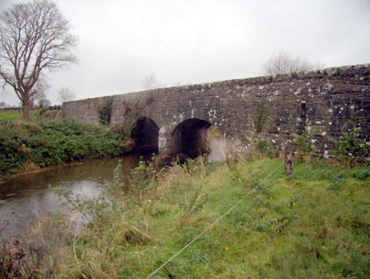 bridgebridge · 1248 yd
 Flat cemetery in Knockainy WestFlat cemetery · 1443 yd
 Desmond Castle (in ruins)Castle, unclassified · 1.1 mi
 Mote - HachuredCastle, motte · 1.2 mi
 KnockainyMountain / peak · 1.7 mi
 St Patrick's WellSpring · 2.9 mi
 Edmund's WellSpring · 3.9 mi
 Kilteely HillMountain / peak · 4.5 mi
 Carn (site of)Cairn, burial cairn · 4.8 mi