What is recorded here
In improved pasture, above old flood plain of river, on its W-side. Circular area (diam. 6m) is very low, almost level, in profile and is defined by a very shallow fosse (Wth 2.8m; D 0.1m). Identified on Bruff 54 aerial photograph survey (Aerial 2135) SW of an oval enclosure (TS066-105005-).
Compiled by: Jean Farrelly
Date of revised upload: 8 September 2014
The monument record does not grant public access. Check the route and ask the landowner before entering private land.
- What survives
- Recorded monument
Places near here
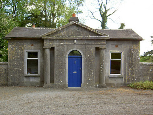 Mooresfort Housegate lodge · 946 yd
 Enclosure in MooresfortEnclosure · 1640 yd
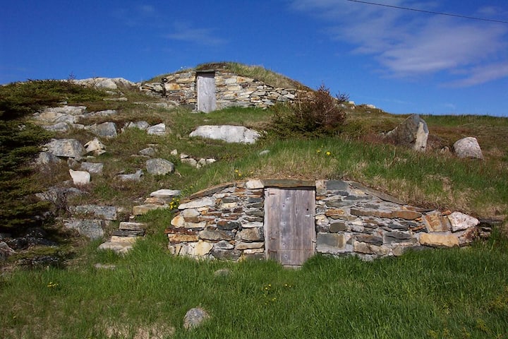 Enclosure in Kilross (clonbeg Par.)Enclosure · 1750 yd
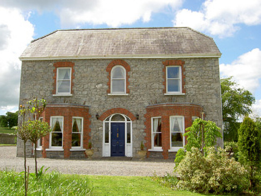 Saint Joseph'shouse · 1.2 mi
 CastleCastle, ringwork · 1.2 mi
 MoatCastle, motte · 2.1 mi
 Carn (site of)Cairn, burial cairn · 2.4 mi
 SlievenamuckMountain / peak · 2.7 mi
 Darby's Bed Walk LoopWalking route · 3.1 mi
 Duntryleague HillMountain / peak · 3.1 mi
 Bansha ForestForest · 3.8 mi
 Saint Patrick's WellSpring · 4.7 mi