What is recorded here
On top of a slight rise, at W end of a low E-W orientated ridge, in gently undulating wet pasture. Natural ground level slopes down gently from the monument SE-SW. Views are good in all directions. Slightly raised circular area (diam at base 21m) defined by a broad shallow fosse (Wth at base 2m; overall Wth 4m; D 0.1m). The fosse is largely silted up and barely visible S-W and is completely infilled and not visible at ground level ESE-S. A modern E-W orientated field boundary bank abuts the outer edge of the fosse at N. The interior is slightly domed and clear of overgrowth.
Compiled by: Jean Farrelly
Date of upload: 26 August 2011
A Neolithic ditch barrow; significant as a rare surviving example of early funerary earthworks in the region.
The monument record does not grant public access. Check the route and ask the landowner before entering private land.
- What survives
- Recorded monument
Places near here
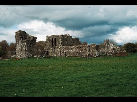 Earthwork in Ballybeg (coonagh By.)Earthwork · 131 yd
 BarrowBarrow, ditch barrow · 195 yd
 CastleCastle, ringwork · 385 yd
 Oola Castle (in ruins)Castle, tower house · 1270 yd
 Shanaclough Househouse · 1460 yd
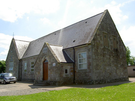 Monard National Schoolschool · 1.1 mi
 Oola HillMountain / peak · 1.1 mi
 The Maid of ErinMemorial · 4.5 mi
 ToberagaddySpring · 5.0 mi
 St. Patrick's WellSpring · 7.3 mi
 Kilteely HillMountain / peak · 7.5 mi
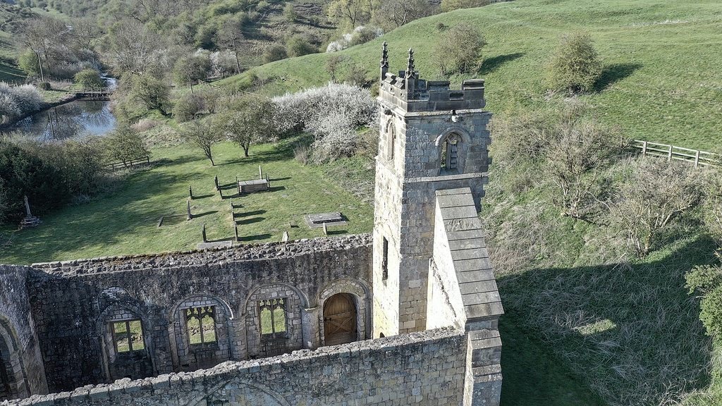 Settlement desertedSettlement deserted, medieval · 1317 yd