What is recorded here
Within interior of enclosure (TS061-031----), off-centre to ENE. Excellent views in all directions except to W where highest point of slope is located. Ditch-barrow (dims. 1.9m E-W; 1.75m N-S) defined by low profile fosse (overall Wth 1.5m; basal Wth 0.5m; D 0.05m) conjoined a mound barrow (TS061-031001-) to the SW. The ditch barrow is less preserved than the mound barrow due to its location inside the entrance of the enclosure (TS061-031----). A ring-barrow (TS061-031003-) is c. 6.5m to E.
Compiled by: Jean Farrelly
Date of upload: 26 August 2011
Ditch barrow, likely dating to the Early Bronze Age. Its location within an enclosure suggests ritual or ceremonial significance, possibly as a focal point for burial or commemorative activity.
The monument record does not grant public access. Check the route and ask the landowner before entering private land.
- What survives
- Recorded monument
Places near here
 Enclosure in MeldrumEnclosure · 7 yd
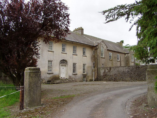 Meldrum Housecountry house · 293 yd
 Meldrum Castle (ruins)Castle · 728 yd
 IndicatedEnclosure · 761 yd
 Brickendown Church (in ruins)Church · 854 yd
 CastleCastle, ringwork and bailey · 1.1 mi
 Ballyknock HillMountain / peak · 1.5 mi
 Cashel Folk MusuemMuseum · 2.3 mi
 The Rock Of CashelVisitor information · 2.3 mi
 Black mulberryBlack mulberry · 2.3 mi
 Cormac's ChapelHeritage attraction · 2.4 mi
 Gobban Saer's GraveArchaeological place · 6.6 mi