What is recorded here
Barrow is a barrow (ditch barrow) in Lattin North, County Tipperary, Ireland. It preserves a circular area 3.5 metres north-south and about 4 metres east-west, bounded by a shallow ditch 1.7 metres wide and 0.15 metres deep. Aerial photography identifies a second ring-ditch, but ground disturbance hides it from view.
In improved pasture, on top of prominent rise. Remains of circular area (dims. 3.5m N-S; c. 4m E-W) defined by shallow fosse (Wth 1.7m; D 0.15m) NW-E-S and disturbed by cattle feeding area S-NW. Possibly also disturbed during construction of modern farm road c. 6m to W. Identified as a pair of ring-ditches on an aerial photograph (OS 2396) and on Bruff 29 aerial photograph survey (Aerial 2036?). Second ring-ditch not visible due to ground disturbance.
Compiled by: Jean Farrelly
Date of upload: 26 August 2011
A ditch barrow, likely dating to the Early Bronze Age. Its location on a prominent rise suggests it may have had a ceremonial or commemorative function in the local landscape.
The monument record does not grant public access. Check the route and ask the landowner before entering private land.
- What survives
- Recorded monument
Places near here
 Enclosure in Lattin NorthEnclosure · 53 yd
 Field system in Clasheleesha,lattin NorthField system · 1044 yd
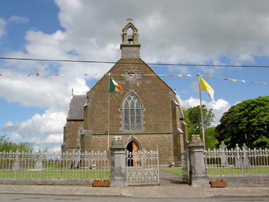 Catholic Church of the Assumptionchurch/chapel · 1094 yd
 grottogrotto · 1137 yd
 CastleCastle, ringwork · 1.1 mi
 Site of Castle LoaghnyCastle, unclassified · 2.1 mi
 Carn (site of)Cairn, burial cairn · 3.5 mi
 SlievenamuckMountain / peak · 3.9 mi
 Oola HillMountain / peak · 4.1 mi
 Bansha ForestForest · 4.7 mi
 Darby's Bed Walk LoopWalking route · 4.8 mi
 St Patrick's WellSpring · 5.8 mi