What is recorded here
In improved pasture, on a NE-facing slope overlooking wet marshy ground to NE. Circular area (dims. 4.75m N-S; 5m E-W) defined by remains of shallow fosse (Wth 3.05m; D 0.15m). Interior generally level and is c. 0.05m lower than exterior ground level. Identified as a ring-ditch on Bruff 29 aerial photograph survey (Aerial 2036?) and is visible on aerial photograph (OS 2396). Ditch barrow (TS066-016002-) c. 36m to E.
Compiled by: Jean Farrelly
Date of upload: 26 August 2011
Ditch barrow, likely dating to the Early Bronze Age. Its earthwork features and location suggest a funerary or ceremonial function, typical of burial monuments from this period in Ireland.
The monument record does not grant public access. Check the route and ask the landowner before entering private land.
- What survives
- Recorded monument
Places near here
 Enclosure in Lattin NorthEnclosure · 96 yd
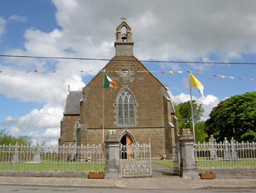 Catholic Church of the Assumptionchurch/chapel · 1093 yd
 Field system in Clasheleesha,lattin NorthField system · 1102 yd
 grottogrotto · 1148 yd
 CastleCastle, ringwork · 1.1 mi
 Site of Castle LoaghnyCastle, unclassified · 2.1 mi
 Carn (site of)Cairn, burial cairn · 3.5 mi
 SlievenamuckMountain / peak · 3.9 mi
 Oola HillMountain / peak · 4.1 mi
 Bansha ForestForest · 4.7 mi
 Darby's Bed Walk LoopWalking route · 4.9 mi
 St Patrick's WellSpring · 5.9 mi