What is recorded here
In pasture. A circular enclosure (overall diam. c. 9m), which appears to be defined by a fosse, visible on satellite imagery (Google Earth satellite imagery, 20 January 2020), identified and reported by Jean-Charles Caillère. There is an enclosure (TS060-005----) c. 250m to the SSW, an enclosure (TS060-003----) c. 300m to the NW and an enclosure (TS060-004----) and burnt mound (TS060-131----) c. 250-290m to the NNW respectively.
See attached:
TS060-152----_01 Google Earth image (imagery date 20 January 2020)
Compiled by: Jean Farrelly
Date of upload: 7 January 2022
A Neolithic ditch barrow; its significance lies in its contribution to understanding early funerary and ritual practices in the landscape.
The monument record does not grant public access. Check the route and ask the landowner before entering private land.
- What survives
- Recorded monument
Places near here
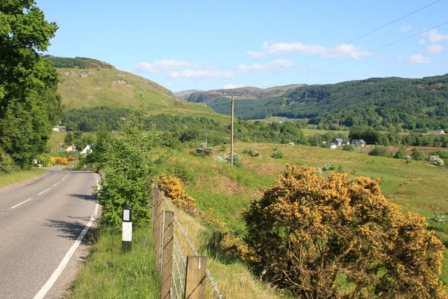 IndicatedEnclosure · 286 yd
 Enclosure in Kilmore UpperEnclosure · 290 yd
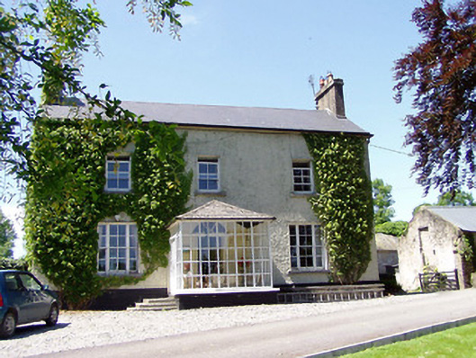 Ballywalter Househouse · 826 yd
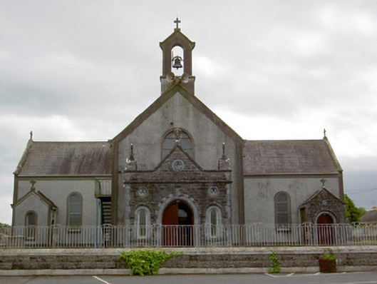 Catholic Church of the Assumptionchurch/chapel · 889 yd
 European ashEuropean ash · 952 yd
 Woodcock GroveWood · 1.1 mi
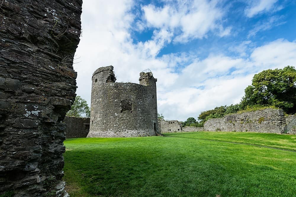 Site of CastleCastle, unclassified · 1.1 mi
 Castle (in ruins)Castle, tower house · 1.4 mi
 Athassel PrioryHeritage attraction · 4.4 mi
 Hore AbbeyHeritage attraction · 5.2 mi
 The Maid of ErinMemorial · 7.7 mi
 The RockViewpoint · 9.2 mi