What is recorded here
Situated in low lying pasture, with views restricted by the surrounding landscape. Depicted on the 1913 ed. OS 6-inch map as an oval-shaped earthwork. Monument described in 1971 and 1976 as a raised roughly oval-shaped area (dims. 23.4m N-S; 17m E-W) defined by a scarp and external fosse. The scarp is very slight as is the fosse (Wth at top 4.4m). The interior is flat and no features are discernible. There is a very slight depression running NE-SW across the monument. Levelled monument visible today as an oval-shaped cropmark on Digital Globe aerial photography.
See attached profile of monument surveyed and drawn by the ASI.
Compiled by Alison McQueen, Vera Rahilly and Caimin O’Brien.
Date of upload: 06 November 2019
Ditch barrow, likely dating to the Early Bronze Age. Its survival in a low-lying pastoral landscape highlights the significance of such monuments in prehistoric burial and ritual practices.
The monument record does not grant public access. Check the route and ask the landowner before entering private land.
- What survives
- Recorded monument
Places near here
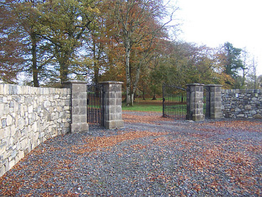 Hyde Parkdemesne walls/gates/railings · 134 yd
 D'Arcy's Bridgebridge · 405 yd
 CastleCastle, ringwork · 897 yd
 Enclosure in AnnaskinnanEnclosure · 1457 yd
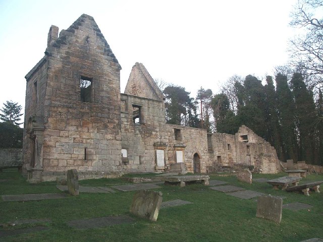 St. Bridgets WellHoly well · 1.4 mi
 Rathwire Moat & CastleCastle, motte and bailey · 1.8 mi
 ScregganWood · 4.5 mi
 Abandoned Kinnegad CanalWood · 4.6 mi
 Croppies' GraveMemorial · 6.0 mi
 bridgebridge · 601 yd
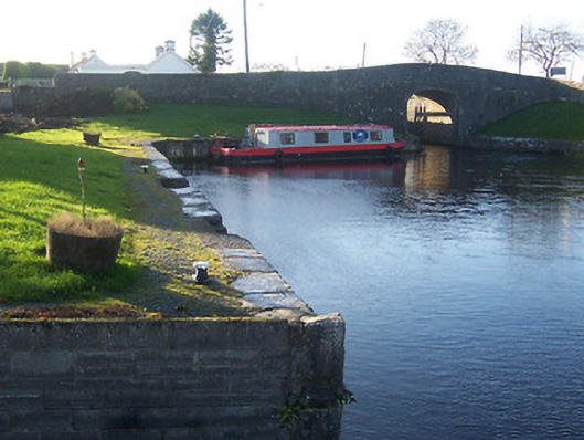 harbour/dock/portharbour/dock/port · 1436 yd
 18th Locklock · 1502 yd