What is recorded here
In generally flat terrain, sloping slightly to the E, in pasture. There are good views to the E and S, though limited by trees and the view N and W is limited by a ridge. A circular enclosure visible on satellite imagery (Google Earth satellite imagery, 16 December 2016), identified and reported by Jean-Charles Caillère. A low circular flat-topped mound (diam. 5.4m; H 0.1m) enclosed by a shallow fosse (Wth 2.3m; D 0.1m). One of a group of four ditch barrows, TS067-137--- is 9m to the E, TS067-138---- is 30m to the S and TS067-139---- is c. 20m to the SE.
See attached:
TS067-136----_01 Overview from E
TS067-136----_02 Overview from W
TS067-136----_03 Google Earth satellite imagery, 16 December 2016
Compiled by: Jean Farrelly
Date of upload: 26 January 2021
A Neolithic ditch barrow; its location and associated circular enclosure suggest it may have had ritual or ceremonial significance in the local landscape.
The monument record does not grant public access. Check the route and ask the landowner before entering private land.
- What survives
- Recorded monument
Places near here
 Garranacanty MoatCastle, motte · 226 yd
 Enclosure in ReddanswalkEnclosure · 966 yd
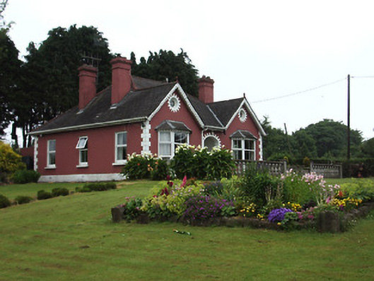 The Bungalowhouse · 1027 yd
 I.R.A. 3rd. Tipperary Brigade MemorialMemorial · 1080 yd
 Enclosure in SadleirswellsEnclosure · 1362 yd
 CastleCastle, ringwork · 1392 yd
 Friarsfield Househouse · 1410 yd
 It's a long way to TippereryHeritage attraction · 1.2 mi
 The Maid of ErinMemorial · 1.4 mi
 European ashEuropean ash · 1.6 mi
 The RockViewpoint · 3.3 mi
 Christ the KingViewpoint · 4.0 mi