What is recorded here
Located on a shelf towards the bottom of the E-facing slope of Galeastown Hill. This feature is not depicted on any OS 6-inch map but is visible on aerial photographs (GSIAP: N 259, 260). It is a subcircular dished and grass-covered area (int. dims 24.5m E-W; 21.5m N-S) defined by a fosse (Wth of top 3m; int. D 0.3m; ext. D 0.3m) SE-W-NE. There is no visible bank or entrance.
The above description is derived from the published 'Archaeological Inventory of County Meath' (Dublin: Stationery Office, 1987). In certain instances the entries have been revised and updated in the light of recent research.
Compiled by: Michael Moore
Date of revision: 10 January 2019
A ditch barrow, likely dating to the Early Bronze Age. Its presence indicates a local funerary tradition and contributes to understanding burial practices in the region during the Bronze Age.
The monument record does not grant public access. Check the route and ask the landowner before entering private land.
- What survives
- Recorded monument
Places near here
 Enclosure in GalleastownEnclosure · 603 yd
 Enclosure in LoughcrewEnclosure · 934 yd
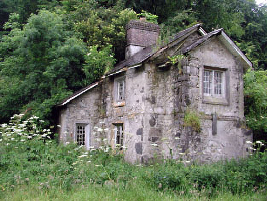 Loughcrew Housegate lodge · 1000 yd
 Slieve GullionMountain / peak · 1.1 mi
 Church in DiamorChurch · 1.1 mi
 Moat of DiamorCastle, motte and bailey · 1.4 mi
 The Keeper's FieldForest · 1.5 mi
 Largan WoodWood · 1.7 mi
 Zip WireHeritage attraction · 1.8 mi
 Green CastleCastle, unclassified · 1.8 mi
 Slieve Na CalliaghMountain / peak · 1.8 mi
 LoughcrewMegalithic tomb cemetery · 1.9 mi