What is recorded here
In a stand of mature Scots Pine at the E-end of the highest point of the Curragh ridge, with panoramic views in all directions. A low, slightly dished, circular earthen mound (H 0.5-0.9m; base diam. 16.5m) is girdled by a shallow fosse (Wth 3-4m; D 0.3m). A small, shallow, central depression may indicate the site of the Trig. Station shown on the current OS 6-inch map (1941 Revision).
Compiled by: Gearóid Conroy
Date of upload: 10 June 2011
A Neolithic ditch barrow, dating to approximately 4000–2500 BCE, characterized by a low earthen mound surrounded by a ditch. Such barrows are significant as early funerary monuments and indicators of Neolithic settlement and ritual activity in the region.
The monument record does not grant public access. Check the route and ask the landowner before entering private land.
- What survives
- Recorded monument
Places near here
 Enclosure in Curragh (ballysax East Ed)Enclosure · 412 yd
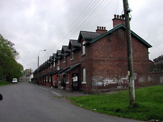 officer's houseofficer's house · 713 yd
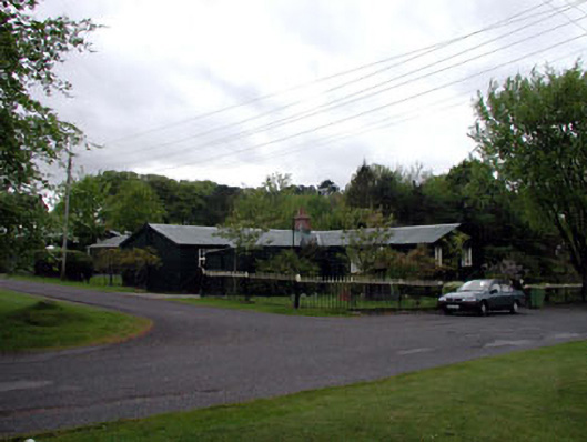 The Chalet ""K""-Linesprison/jail · 716 yd
 ElderElder · 1131 yd
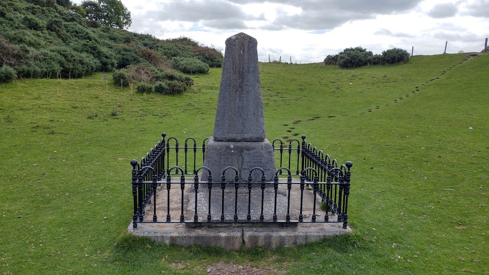 Donnelly's HollowMonument · 1284 yd
 CastleCastle, unclassified · 1.9 mi
 Newbridge SilverwareMuseum · 2.5 mi
 TumulusCastle, motte and bailey · 2.6 mi
 Pollardstown Fen Nature ReserveNature reserve · 3.6 mi
 Saint Fiachra's GardenHeritage attraction · 3.6 mi
 Grand Canal WayVisitor information · 8.9 mi
 History of Moat of ArdscullVisitor information · 9.1 mi