What is recorded here
Visible as a circular feature (diam. c. 15m) defined by a fosse, probably with an outer bank that has an entrance at SE, on an aerial photographs (ACAP: V221, 117-18). Situated on a level low-lying landscape with an ESE-WNW stream or drain c. 20m to the N, it is not visible at ground level in reclaimed pasture. Rath (RO010-055----) is c. 100m to the ESE.
Compiled by: Michael Moore
Date of upload: 24 August 2010
A ditch barrow, likely dating to the Early Bronze Age; its presence indicates a tradition of monumental burial in the Carrowkeel area, associated with broader passage tomb culture in northwest Ireland.
The monument record does not grant public access. Check the route and ask the landowner before entering private land.
- What survives
- Recorded monument
Places near here
 Embanked enclosureFairy fort / earthen ringfort · 149 yd
 Enclosure in Carrowkeel (boyle By.)Enclosure · 427 yd
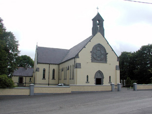 Saint Attracta's Catholic Churchchurch/chapel · 1.1 mi
 Religious houseReligious house, unclassified · 2.4 mi
 Moylung Castle (in ruins)Castle, unclassified · 3.3 mi
 King William MemorialMonument · 4.2 mi
 Gray's WoodForest · 4.2 mi
 Boyle AbbeyHeritage attraction · 4.3 mi
 Square WoodForest · 4.3 mi
 Castle (Site of)Castle, unclassified · 5.0 mi
 Erris BayBay · 5.3 mi
 Lough Key Forest ParkWood · 5.3 mi