What is recorded here
No human has set a boot in its soil for centuries. That is why the grass still holds the shape of the ditch and drops the memory of every foot that left it behind.
In pasture 250m E of townland boundary with Killorath, 135m SW of ditch-barrows (LI031-041024/025-). Not depicted on OSi historic maps. Identified by Bruff aerial photographic survey in 1986 (Bruff 40; AP4/3598) as a circular-shaped cropmark. Monument visible as a circular shaped cropmark (diam. c. 11m) defined by a fosse on OSi orthophoto taken between 2005-12. Outline of ring-ditch clearly visible on Google earth orthoimages dated 04/04/2013 and 16/03/2016.
See attached Bruff aerial photograph labelled Bruff 40 and Google earth orthoimages.
Compiled by: Fiona Rooney
Date of upload: 31 March 2021
A ditch barrow, likely dating to the Early Bronze Age. Its identification through aerial photography highlights the importance of such methods in uncovering prehistoric monuments in the region.
The monument record does not grant public access. Check the route and ask the landowner before entering private land.
- What survives
- Recorded monument
Places near here
 Boulder-burial in Cahirguillamore (smallcounty By.)Boulder-burial · 406 yd
 Cathair Gail, HachuredEnclosure · 479 yd
 RoadRoad, road/trackway · 779 yd
 CastleCastle, unclassified · 1064 yd
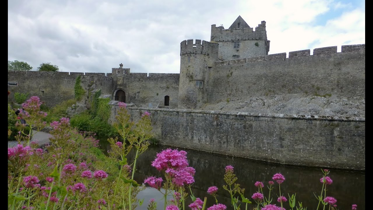 Cahir GuillamoreHouse, 17th century · 1123 yd
 Glenogra Castle (in ruins)Castle, Anglo-Norman masonry castle · 1.5 mi
 Lough GurVisitor information · 1.8 mi
 Grange Stone CircleArchaeological place · 1.8 mi
 Skool HillMountain / peak · 3.4 mi
 European ashEuropean ash · 4.0 mi
 Villiers WellSpring · 4.7 mi
 KnockainyMountain / peak · 5.0 mi