What is recorded here
Situated on a slight SE-facing slope in the S foothills at the E end of the Slieve na Calliagh ridge and in full view of Belview House c. 160m to the SE. It is not depicted on any OS map but it is visible on vertical aerial images (GSIAP: N 155). This is a subrectangular mound (dims of base 12.9m N-S; 12.2m E-W; H 0.6m) defined by a ditch or fosse (Wth of base 2-2.8m; ext. D 0.2-0.3m). Although there are decorative trees in this field there is none at this location and none of the trees have a mound at their base.
The following description is derived from the published 'Archaeological Inventory of County Meath' (Dublin: Stationery Office, 1987). In certain instances the entries have been revised and updated in the light of recent research.
Compiled by: Michael Moore
Date of revision: 10 January 2019
A Neolithic ditch barrow; its location and visibility suggest it may have had ritual or territorial significance in the prehistoric landscape.
The monument record does not grant public access. Check the route and ask the landowner before entering private land.
- What survives
- Recorded monument
Places near here
 Enclosure in PatrickstownEnclosure · 737 yd
 Concentric enclosure in PatrickstownConcentric enclosure · 917 yd
 Earthen TumulusCastle, motte · 1.0 mi
 Largan WoodWood · 1.0 mi
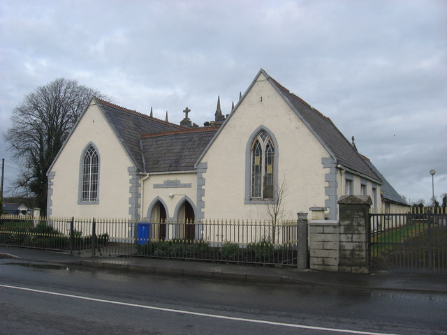 Ballinlough National Schoolschool · 1.1 mi
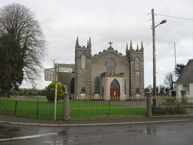 Catholic Church of the Assumptionchurch/chapel · 1.1 mi
 Oliver Plunkett memorialMemorial · 1.4 mi
 CastleCastle, motte and bailey · 1.7 mi
 Ballyhist WoodWood · 1.9 mi
 Slieve Na CalliaghMountain / peak · 2.1 mi
 Loughcrew Megalithic TombsHeritage attraction · 2.2 mi
 LoughcrewMegalithic tomb cemetery · 2.8 mi