What is recorded here
In improved pasture, on an elevated area of ground defined by old water channels. A ditch barrow (TS066-061003-) abuts c. 2m to the WNW and a ditch barrow (TS066-061004-) is located c. 10m to the W. A circular area (dims. 2.2m N-S.; 2m E-W) defined by a fosse (Wth 1.5m; D 0.05-0.12m). The interior is dome-shaped and is marginally higher than the external ground level.
Compiled by: Jean Farrelly
Date of upload: 26 August 2011
A ditch barrow, likely dating to the Early Bronze Age, associated with a broader ritual or funerary landscape. Its proximity to other ditch barrows suggests a significant ceremonial grouping.
The monument record does not grant public access. Check the route and ask the landowner before entering private land.
- What survives
- Recorded monument
Places near here
 Enclosure in Ballynahow (bruis Par.)Enclosure · 74 yd
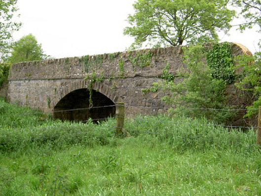 Bohereenbuee Bridgebridge · 389 yd
 Enclosure in Shronell (bruis Par.)Enclosure · 661 yd
 Mount Bruishouse · 1413 yd
 MoatCastle, motte · 1500 yd
 Site of CastleCastle, unclassified · 1.5 mi
 SlievenamuckMountain / peak · 2.4 mi
 Bansha ForestForest · 2.5 mi
 Glen of AherlowViewpoint · 3.4 mi
 Christ the KingViewpoint · 3.4 mi
 The RockViewpoint · 3.4 mi
 Knockanebrack HillMountain / peak · 4.7 mi