What is recorded here
In improved pasture, on an elevated area of ground defined by old water channels. Ditch barrows (TS066-061003- and TS066-061002-) are located c. 7m and 10m to the E respectively. A circular area (dims. 2.75m N-S.; 2.5m E-W) defined by a fosse (Wth 1.5m; D 0.15m).
Compiled by: Jean Farrelly
Date of upload: 26 August 2011
Ditch barrow, likely dating to the Early Bronze Age (c. 2000–1500 BCE). These earthworks are significant as they represent early funerary or ritual monuments associated with the emergence of social stratification and metalworking in Ireland.
The monument record does not grant public access. Check the route and ask the landowner before entering private land.
- What survives
- Recorded monument
Places near here
 Enclosure in Ballynahow (bruis Par.)Enclosure · 65 yd
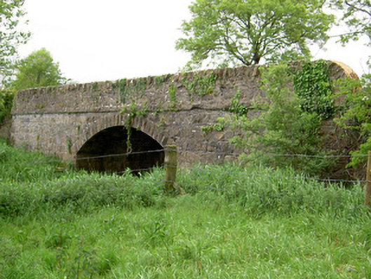 Bohereenbuee Bridgebridge · 406 yd
 Enclosure in Shronell (bruis Par.)Enclosure · 640 yd
 Mount Bruishouse · 1411 yd
 MoatCastle, motte · 1497 yd
 Site of CastleCastle, unclassified · 1.5 mi
 SlievenamuckMountain / peak · 2.4 mi
 Bansha ForestForest · 2.5 mi
 Glen of AherlowViewpoint · 3.4 mi
 Christ the KingViewpoint · 3.4 mi
 The RockViewpoint · 3.4 mi
 Knockanebrack HillMountain / peak · 4.7 mi