What is recorded here
In pasture, on a S-facing slope, abutting a ring-barrow (TS066-193002-) to the W. Identified during field survey by Alison McQueen and Vera Rahilly (17 February 2009). An enclosure (TS066-192----) is located c. 25m to the SW. A circular area (dims. 5.25m N-S; 5.1m E-W) defined by a fosse (overall Wth 1.75m; basal Wth 0.4m; D 0.05m). The outer edge of the fosse is slightly damaged in the E quadrant by a land drain which flanks the NNW-SSE running field boundary.
Compiled by: Jean Farrelly
Date of revised upload: 9 September 2014
Ditch barrow, likely dating to the Early Bronze Age. Its association with a ring-barrow suggests a ceremonial or funerary landscape significant for prehistoric burial practices in the region.
The monument record does not grant public access. Check the route and ask the landowner before entering private land.
- What survives
- Recorded monument
Places near here
 CastleCastle, ringwork · 824 yd
 Site of ChurchChurch · 1388 yd
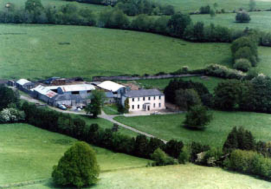 Ballinardhouse · 1545 yd
 Enclosure in Lattin NorthEnclosure · 1725 yd
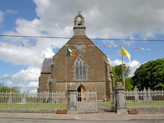 Catholic Church of the Assumptionchurch/chapel · 1.1 mi
 Site of Castle LoaghnyCastle, unclassified · 1.7 mi
 Oola HillMountain / peak · 3.2 mi
 SlievenamuckMountain / peak · 4.3 mi
 Carn (site of)Cairn, burial cairn · 4.5 mi
 Bansha ForestForest · 4.8 mi
 St Patrick's WellSpring · 6.7 mi
 Saint Patrick's WellSpring · 6.9 mi