What is recorded here
In improved, wet pasture, on a natural curvilinear ridge, overlooking a low-lying level area (possible flood plain) to N. A ditch barrow (TS066-072----) is located c. 18m to the SE. A sub-circular area (dims. 4.75m N-S; 3.5m E-W) defined by a fosse (Wth 2.2m; D 0.15m) which is broader and less defined in the NE quadrant and is backfilled at SW. The interior is grass covered with a N-facing slope. A dry drainage channel running NW-SE lies immediately SW.
Compiled by: Jean Farrelly
Date of upload: 26 August 2011
Ditch barrow, likely dating to the Early Bronze Age. Its location on a prominent ridge suggests ritual or symbolic significance, possibly related to landscape orientation or water management.
The monument record does not grant public access. Check the route and ask the landowner before entering private land.
- What survives
- Recorded monument
Places near here
 Field system in Ballynagrana (emly Par.),moanmore (emly Par.)Field system · 517 yd
 Enclosure in LissobihaneEnclosure · 706 yd
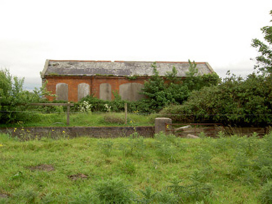 Emly Railway Stationstore/warehouse · 804 yd
 Aughaclareen Bridgebridge · 1721 yd
 Carn (site of)Cairn, burial cairn · 1.5 mi
 Glebe Ho.Castle, unclassified · 1.7 mi
 Ryves CastleCastle, unclassified · 3.0 mi
 St Patrick's WellSpring · 3.9 mi
 Saint Patrick's WellSpring · 3.9 mi
 Kilteely HillMountain / peak · 5.5 mi
 Flat cemetery in Knockainy WestFlat cemetery · 5.7 mi
 SlievereaghMountain / peak · 6.3 mi