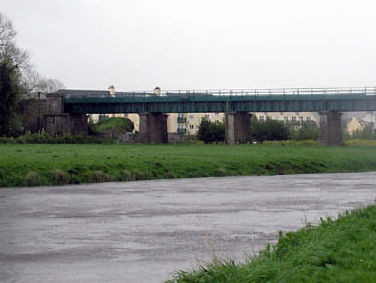
What is recorded here
Nine-span railway viaduct over river and roads, built 1847, with rock-faced limestone ashlar piers and cast-iron girder spans. Coursed rock-faced limestone ashlar tapered piers with plain friezes and moulded coping (having panels over to end piers to north-east and to south-west). Limestone ashlar curved flanking walls to north-east and to south-west with cut-stone coping. Nine flat spans with four riveted cast-iron girders to each span on concrete pillow bed. Cast-iron deck over continuing into flanking foot deck with iron railings. Sited spanning River Barrow and roads to north-east and to south-west.
Barrow Bridge is a fine and imposing structure built as part of the Great South and Western Railway line, forming an attractive feature on the line, and is one of a group of bridges on the section of that railway line that passes through County Kildare. The construction of the spans in cast-iron is of technical and engineering merit. The bridge exhibits good quality stone masonry and fine, crisp joints, particularly to the tapered piers, which is a good example of the high quality of stone masonry practised in the locality. The bridge is of considerable historical and social significance as a reminder of the railway network development in Ireland, which brought about many technical advances and developed commercial activity in the mid to late nineteenth century. The bridge is an imposing landmark in the locality of Monasterevin, cutting through the flat surrounding terrain and providing an artificial horizon to the landscape
This does not grant access. Most recorded buildings are privately owned; view them only from public ground unless the owner allows entry.
Places near here
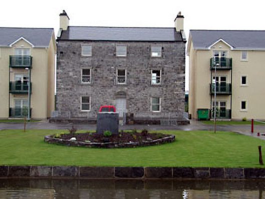 worker's houseworker's house · 160 yd
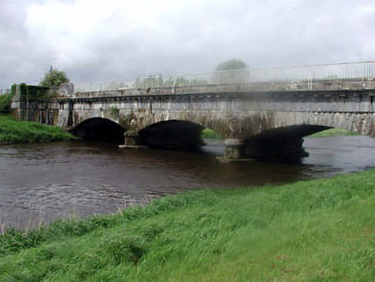 aqueductaqueduct · 177 yd
 European YewEuropean Yew · 662 yd
 Enclosure in Clogheen (monasterevin Ed)Enclosure · 1009 yd
 Font in Mooreabbey DemesneFont · 1125 yd
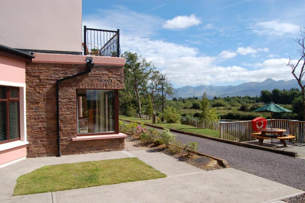 Lodge GroveWood · 1525 yd
 Lea Castle (in ruins)Castle, Anglo-Norman masonry castle · 3.3 mi
 CastleCastle, ringwork · 3.3 mi
 Church (in Ruins), GraveyardChurch · 3.9 mi
 Bog Lake WalkWalking route · 5.3 mi
 Derryounce Walk (Yellow Loop)Walking route · 5.5 mi
 Bithia Mary CrokerMemorial · 6.1 mi
Other information
Photo: National Inventory of Architectural Heritage · Website use allowed for educational or private purposes with source credit