What is recorded here
The following description is derived from both the published 'Archaeological Inventory of County Louth' (Dublin: Stationery Office, 1986) and the 'Archaeological Survey of County Louth' (Dublin: Stationery Office, 1991). In certain instances the entries have been revised and updated in the light of recent research.
Date of upload/revision: 17 July 2007
Situated on slight rise in undulating, outcropping countryside. Circular bowl-barrow (diam. 14.6m, H 0.9m). Excavation by H. Morris in 1926 (CLAJ 1926, 71-6) revealed that the site was comprised of piled stone mixed with earth and numerous fragments of bone. A rectangular cist, aligned NW-SE, almost at the centre of the mound contained four 'urns' (see also LH011-001002-).
Bowl barrow, likely dating to the Early Bronze Age. Its presence indicates a tradition of round barrow burial in the broader eastern Irish landscape, reflecting early funerary practices and social structures.
The monument record does not grant public access. Check the route and ask the landowner before entering private land.
- What survives
- Recorded monument
Places near here
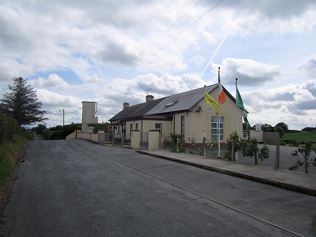 Stonetown National Schoolschool · 786 yd
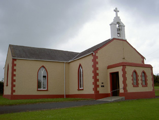 Catholic Church of Our Lady of the Snowschurch/chapel · 1161 yd
 CastleCastle, unclassified · 1187 yd
 Enclosure in MuffEnclosure · 1504 yd
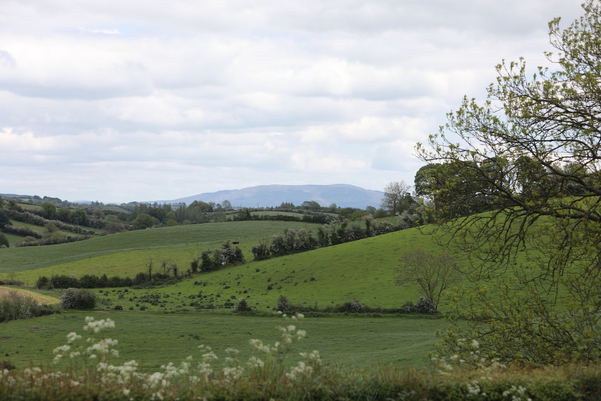 LisawollyFairy fort / earthen ringfort · 1667 yd
 MoatCastle, motte · 1.9 mi
:no_upscale()/cdn.vox-cdn.com/uploads/chorus_asset/file/25593391/County_Louth_6th.jpg) LouthMountain / peak · 2.5 mi
LouthMountain / peak · 2.5 mi Flat cemetery in AnnaheanFlat cemetery · 4.1 mi
 Long PlantationForest · 4.5 mi
 Rabbit BurrowWood · 6.5 mi
 Photo GalleryHeritage attraction · 7.5 mi
 Dundalk CentralHeritage attraction · 7.5 mi