
What is recorded here
The following description is derived from both the published 'Archaeological Inventory of County Louth' (Dublin: Stationery Office, 1986) and the 'Archaeological Survey of County Louth' (Dublin: Stationery Office, 1991). In certain instances the entries have been revised and updated in the light of recent research.
Date of upload/revision: 17 July 2007
Cropmark suggesting roughly circular enclosure (max. dims. c. 68m N-S, c. 62m E-W) on aerial photograph (CUCAP, BDP 42).
A local fairy fort (ringfort/rath); wider significance not recorded.
The monument record does not grant public access. Check the route and ask the landowner before entering private land.
- What survives
- Recorded monument
Places near here
 Ultans WellHoly well · 308 yd
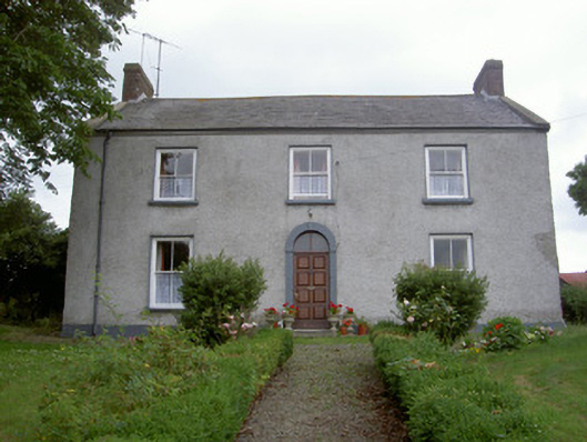 Pakenham Hallhouse · 497 yd
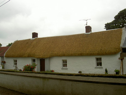 farm housefarm house · 1149 yd
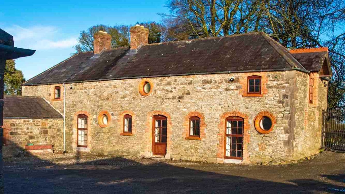 Enclosure in ArtoneyEnclosure · 1.0 mi
 CastleCastle, unclassified · 1.2 mi
 MoatCastle, motte · 1.5 mi
 SycamoreSycamore · 1.5 mi
 TuliptreeTuliptree · 1.5 mi
:no_upscale()/cdn.vox-cdn.com/uploads/chorus_asset/file/25593391/County_Louth_6th.jpg) LouthMountain / peak · 2.1 mi
LouthMountain / peak · 2.1 mi Flat cemetery in AnnaheanFlat cemetery · 3.6 mi
 Photo GalleryHeritage attraction · 7.7 mi
 Dundalk CentralHeritage attraction · 7.7 mi
Other information
Photo: Credit not shown in the picture search · Rights wording not checked; contact us if this picture should be removed