What is recorded here
In ungrazed hay meadow, on a NE-facing slope. A bowl barrow (TS063-014001-) is located c. 55m to NE, an earthwork (TS063-079----) c. 80m to the W and a possible enclosure (TS063-080----) c. 30m to the S. The entrance avenue to Temple View House is c. 30m to NE. Described by Cahill (1982) as 'disturbed, possibly due to drainage'. According to local information, this mound was levelled out in the relatively recent past. It is not visible at ground level.
Compiled by: Jean Farrelly
Date of revised upload: 17 April 2012
Bowl barrow, likely dating to the Early Bronze Age (c. 2500–1500 BCE). Its location within a meadow and proximity to other earthworks suggest it may be part of a broader ritual or funerary landscape.
The monument record does not grant public access. Check the route and ask the landowner before entering private land.
- What survives
- Recorded monument
Places near here
 Enclosure in NewtowndranganEnclosure · 34 yd
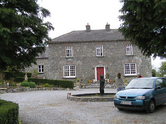 Temple Viewhouse · 97 yd
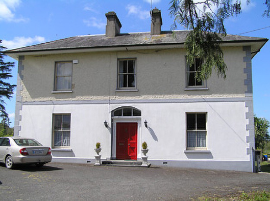 presbytery/parochial/curate's housepresbytery/parochial/curate's house · 425 yd
 (Site of) Drangan CastleCastle, unclassified · 1059 yd
 RathkennyEnclosure, large enclosure · 1408 yd
 Knockuragh HillMountain / peak · 1.2 mi
 CastleCastle, ringwork and bailey · 1.6 mi
 Eagle HillMountain / peak · 2.5 mi
 Fenane WoodForest · 3.2 mi
 Silver FirSilver Fir · 3.4 mi
 East GateMemorial · 5.3 mi
 The SpoutMemorial · 6.0 mi