What is recorded here
Situated on flat, poorly drained land in an upland area with church site (TN031-070001) to NE. A poorly preserved round-topped mound (diam. 23m N-S; H 1.2m) enclosed by a wide, flat-bottomed fosse (Wth 7.5m; ext. D 0.4m) which was waterlogged at time of visit.
The above description is derived from 'The Archaeological Inventory of County Tipperary. Vol. 1 - North Tipperary' compiled by Jean Farrelly and Caimin O'Brien (Dublin: Stationery Office, 2002). In certain instances the entries have been revised and updated in the light of recent research.
Date of upload/revision: 22 September 2008
Bowl barrow, likely dating to the Early Bronze Age. Its association with a nearby church site suggests possible later reuse or alignment with medieval religious activity.
The monument record does not grant public access. Check the route and ask the landowner before entering private land.
- What survives
- Recorded monument
Places near here
 Kilpatrick Church (Site of)Church · 85 yd
 Cork WellHoly well · 446 yd
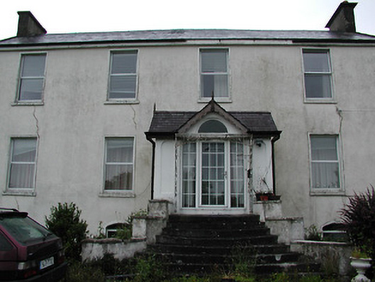 Clareviewcharter school · 952 yd
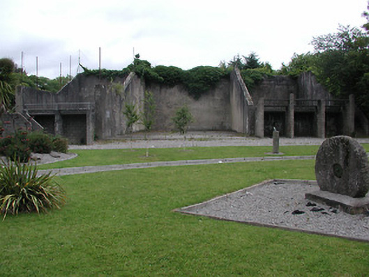 handball alleyhandball alley · 1343 yd
 Site of Derryleigh CastleCastle, unclassified · 1.4 mi
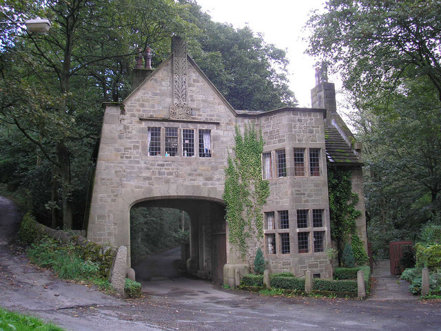 CastleCastle, tower house · 1.6 mi
 The Pollagh TrailNature reserve · 3.9 mi
 Cast Iron BridgeHeritage attraction · 4.2 mi
 Ballyhourigan WoodsForest · 4.5 mi
 The CapstanHeritage attraction · 4.5 mi
 Boolatin TopMountain / peak · 4.9 mi
 Slieve Felim WayWalking route · 5.0 mi