DDiscover AloneMapAbout

Barn in Bremore

Barn

What is recorded here

The rebuilt Manor Castle (DU002-002001-) of Bremore (Brí Mhór/Big Hill), the ancestral home of the Barnewall (De Berneval) family stands 985m to the N of the town of Balbriggan, 280m W of the coastline, with Balbriggan martello tower No. 12 (DU002-004----) 480m to the SSE. The present castle has been rebuilt by the…

Read the whole record
The rebuilt Manor Castle (DU002-002001-) of Bremore (Brí Mhór/Big Hill), the ancestral home of the Barnewall (De Berneval) family stands 985m to the N of the town of Balbriggan, 280m W of the coastline, with Balbriggan martello tower No. 12 (DU002-004----) 480m to the SSE. The present castle has been rebuilt by the Parks Department of Fingal County Council, all of the upper floors from c. 4m upwards have been built in these 20th-century works. The precise location of a ‘great Barne’ associated with the manor castle of Bremore has not been identified. The castle building with a barn, an orchard and a park with a settlement cluster was described in the 1654-56 Civil Survey as; ‘one Burnt Castle with a great Barne & eight tenements one orchard & parke with some small young Ashtrees’ (Simington 1945, 4). One of three long buildings indicated on OSi historic maps located to the W, and NE of the castle may have been the site of the ‘Great Barne’. The ruins of Bremore Castle and the adjoining bawn enclosing an area to the W of the castle was described in the 1880s which was then in the possession of the King family; ‘Mr King who takes a great interest in this relic of antiquity, and showed me every part of it. He stated that his late father was of the opinion that their residence, which adjoins the Castle, and the walls of which are fully 8ft. [2.4m] thick, formed originally the malt-house belonging to the Castle' (Dix 1868, 68). This malt-house may have been the ‘great Barne’ referred to in the 1654-56 Civil Survey. The long narrow building forming the N boundary of the castle bawn depicted on the 1837 ed. OSi six-inch map may have been the site of the 'great Barne', it is unclear of this building was the ‘Malt House’ lived in by the King family in the 19th-century. Alternatively the two long buildings depicted to the NE of the castle on the 1837 six-inch map may have been the site of the barn. On the 1837 ed. OSi six-inch map the building furthest to the NE of the castle has a Thrashing Machine immediately to the E of the building which may indicate that this building had an agricultural function.

From the National Monuments Service (Archaeological Survey of Ireland) record DU002-002008

The monument record does not grant public access. Check the route and ask the landowner before entering private land.

What do you know about this place?Tap to add a comment or ask a question

What you write will be public.

Places near here

Photo credits
  • National Inventory of Architectural Heritage
  • Jonjobaker, Wikimedia Commons · CC BY-SA 4.0
  • P L Chadwick, Wikimedia Commons · CC BY-SA 2.0
  • William Murphy from Dublin, Ireland, Wikimedia Commons · CC BY-SA 2.0
  • William Murphy, Wikimedia Commons · CC BY-SA 3.0
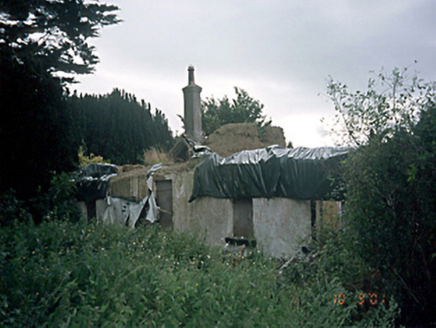
Bremore CottageHouse · 205 yd

Explorer Tom Bremore Cottage is the longest thatched house in Ireland, or so it says before it burned down in '96. It’s just sitting…

Balbriggan Martello TowerMartello tower · 586 yd

Explorer Tom Balbriggan Martello Tower is a round stone guy that lost its roof and now looks like it’s wearing a very fancy hat made…

water pump719 yd

Explorer Tom Water pump in Bremore is missing parts but still rocking that 1895 swagger. John Collins from Drogheda put his name on…
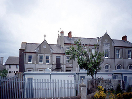
Loreto ConventConvent/nunnery · 780 yd

Explorer Tom Loreto Convent in Tankardstown is standing there with its advanced gable bay, looking like it’s ready to win the 'Most…
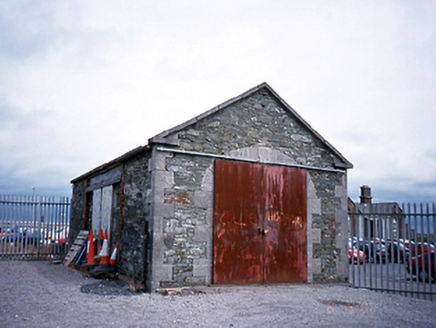
Balbriggan Railway StationGoods shed · 858 yd

Explorer Tom This Balbriggan goods shed is just waiting for you to order it a massive chipper with extra gravy, probably hidden…

chimney861 yd

Explorer Tom Chimney in Balbriggan thinks tourists from Dublin are like pigeons: everywhere, annoying, but ultimately harmless and…
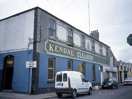
factory891 yd

Explorer Tom This other factory in Balbriggan is used by cleaners now, but it won prizes in Paris and Philadelphia. It’s got plaques…
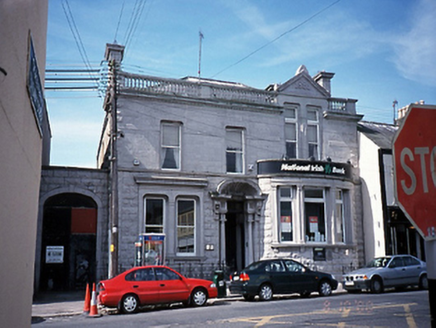
bank/financial institution930 yd

Explorer Tom Bank or financial institution in Balbriggan is showing off its limestone face from 1891. It’s got a bow window and a…
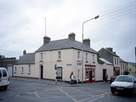
The Fashion HallHouse · 939 yd

Explorer Tom House in Balbriggan is corner-sited and acting like a big shot with its timber shopfront. It’s an 1850s classic with an…

Balbriggan HarbourHarbour/dock/port · 1052 yd

Explorer Tom Balbriggan Harbour piers are listening to a fiddler who has been playing the same tune all night, probably because he…

lifeboat station1057 yd

Explorer Tom Lifeboat station in Balbriggan would complain to the council about the noise level if it had a mouth big enough for it.…

viaduct1084 yd

Explorer Tom Viaduct in Balbriggan is an eleven-arch limestone giant built by W. Dargan in the 1840s. It’s got cut-stone voussoirs…

More historic places in County Dublin · All of County Dublin

Add to this placeAdd a picture Add a detailed tip Add a story

Explore the map1,095,414 places to discover

Next place · or swipeBremore Cottage