
What is recorded here
On N and S banks of Bandon river, walled town created in early decades of 17th century under the patronage of Richard Boyle, Earl of Cork. The town today is largely of 19th-century character; apart from Christ Church (3344) no buildings of 17th century survive; however, sections of town wall can still be traced. No…
Read the whole record
From the National Monuments Service (Archaeological Survey of Ireland) record CO110-019001
Places near here
Photo credits
- National Inventory of Architectural Heritage
- Jonathan Thacker, Geograph · CC BY-SA 2.0
- Denis Boyle / Echo Live, www.echolive.ie
- Maker not stated on source page, www.alamy.com
- Maker not stated on source page, commons.wikimedia.org
 bridge232 yd
Explorer Tom Bridge in Cloghmacsimon is known as Irishtown Bridge, which sounds like a bit of a historical snub. The weather has…
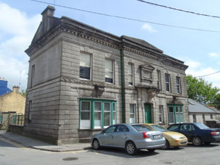 Allin InstituteSchool · 267 yd
Explorer Tom Allin Institute in Knockbrogan has got more mouldings than my ex had excuses. William Henry Hill clearly thought plain…
 Riverside HallChurch/chapel · 272 yd
Explorer Tom Riverside Hall in Knockbrogan was a Presbyterian church from 1847, now turned into apartments. It’s got lancet openings…
 D.p. McSweeneyHouse · 313 yd
Explorer Tom D.p. McSweeney gave up its decorative frieze for Lent, then ate it all by Tuesday afternoon anyway. The shouldered…
 store/warehouse332 yd
Explorer Tom Store or warehouse in Cloghmacsimon is a former railway goods store from 1865. It’s now a shop on Glasslinn Road, but…
 Catholic Church of the Immaculate Conception and Saint PatrickPresbytery/parochial/curate's house · 356 yd
Explorer Tom This other Catholic Church of the Immaculate Conception and Saint Patrick in Cloghmacsimon is its twin brother, also…
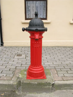 water pump538 yd
Explorer Tom Water pump in Gully is a cast-iron hydrant from Scotland that thinks it’s a work of art. It’s been standing there since…
 GlasslynHouse · 550 yd
Explorer Tom Glasslyn in Cloghmacsimon is part of a historic terrace but has a tiny shopfront that looks like it’s trying to whisper…
 The ManseManse · 588 yd
Explorer Tom The Manse in Cloghmacsimon is sandstone and red brick, built around 1880 for Methodist clergy. It’s got camber-headed…
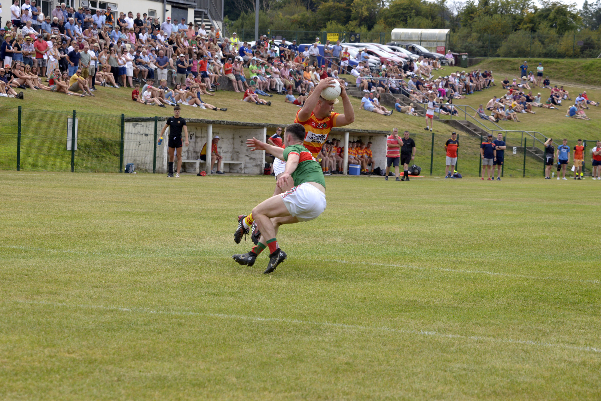 Charlie Hurley Park, BandonGAA ground · 804 yd
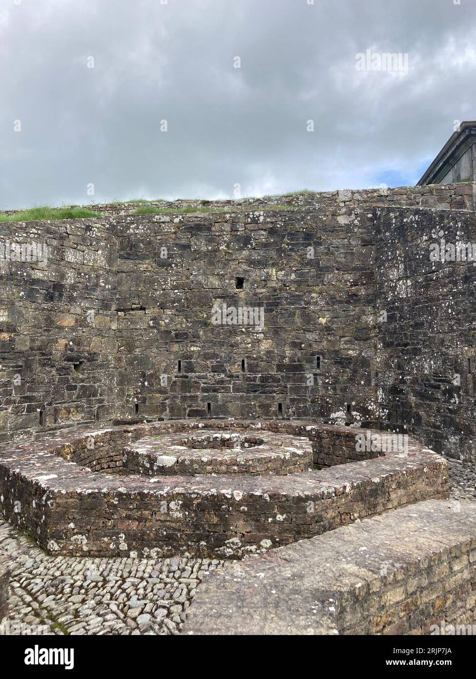 Enclosure in CloghmacsimonEnclosure · 1263 yd
Explorer Tom Enclosure in Cloghmacsimon is basically a ghost that only shows up when you’re looking at an old aerial photograph from…
 Kilbeg CemeteryCemetery · 1.1 mi
Explorer Tom Kilbeg Cemetery thinks the road leading to it is basically a red carpet for important occasions, even though it’s…
More archaeology and monuments in County Cork · All of County Cork

What do you know about this place?Tap to add a comment or ask a question