What is recorded here
In improved pasture, 110m E of a townland boundary with Ardanreagh and 135m SW of a public road. A megalithic structure (LI032-045001-) and a cist (LI032-045002-) lie 170m to ENE. Depicted on the 1840 ed. OSi 6-inch map as a rectangular-shaped area (32m N-S; 27m E-W) adjoining to S of Ballygrilla House and defined by field boundaries to E, S and W. Monument identified as a rectilinear-shaped cropmark by the Bruff aerial photographic survey in 1986 (Bruff 204: AP 5/2010). This is on the former site of Ballygrilla House and is likely to represent the outline of the levelled house. Monument is visible as a rectilinear-shaped cropmark (40m N-S; 31m E-W) on OSi orthoimage taken 2005-2012 and a similar, faint cropmark on Google Earth orthoimage taken 07/05/2006.
See attached Google Earth orthoimage and Bruff aerial survey image labelled 204.
Compiled by: Alison McQueen and Vera Rahilly
Date of upload: 13 November 2020
The monument record does not grant public access. Check the route and ask the landowner before entering private land.
- What survives
- Recorded monument
Places near here
 Giants GraveMegalithic structure · 218 yd
 Ballynagallagh Cottagehouse · 243 yd
 Ink Bottle House, Ruins ofArchaeological place · 305 yd
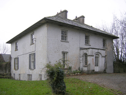 Glebe Houserectory/glebe/vicarage/curate's house · 396 yd
 Grange Stone CircleArchaeological place · 1472 yd
 Lough GurVisitor information · 1499 yd
 Bawn in Grange (smallcounty By.)Bawn · 1.0 mi
 Black Castle (in ruins)Castle, tower house · 1.0 mi
 Pedunculate OakPedunculate Oak · 1.4 mi
 Glen BogForest · 1.5 mi
 Lough Gur Heritage CentreVisitor information · 1.6 mi
 The SpectaclesVisitor information · 1.6 mi