What is recorded here
On a rise in a low-lying undulating landscape in reclaimed pasture and within an extensive field system (CL009-059001-). Hachured and named ‘Ballybaun’ on the 1840 and 1916 OS 6-inch maps. No visible trace of this earthwork survives at ground level on a knoll (diam. c. 30m). Faint traces of a scarp at SE may be seen on a Google Earth image (taken 16 January 2011). Another enclosure (CL016-020009-) is located c. 57m to the SSW. The following image has been uploaded:
CL016-020011-_01.jpg Google Earth image, 16 January 2011
Compiled by: Mary Tunney and Lynda McCormack
Date of upload: 21 March 2022
On a rise in a low-lying undulating landscape in reclaimed pasture and within an extensive field system (CL009-059001-). Hachured and named ‘Ballybaun’ on the 1840 and 1916 OS 6-inch maps. No visible trace of this earthwork survives at ground level on a knoll (diam. c. 30m). Faint traces of a scarp at SE may be seen on a Google Earth image (taken 16 January 2011). Another enclosure (CL016-020009-) is located c.…
From the National Monuments Service (Archaeological Survey of Ireland) record CL016-020011
This remains an important historical record, but the official description says the monument is no longer visible or has been destroyed. The monument record does not grant public access. Check the route and ask the landowner before entering private land.
- What survives
- No visible remains or recorded as destroyed
Places near here
Photo credits
- Roger Diel, Geograph · CC BY-SA 2.0
- Rod Allday, Geograph · CC BY-SA 2.0
- National Inventory of Architectural Heritage
- The Banner, Wikimedia Commons · CC BY-SA 4.0
- Colin Park, Geograph · CC BY-SA 2.0
- Andreas F. Borchert, Wikimedia Commons · CC BY-SA 4.0
- N Chadwick, Geograph · CC BY-SA 2.0
- Ingo Mehling, Wikimedia Commons · CC BY-SA 3.0
- Joseph Mischyshyn, Geograph · CC BY-SA 2.0
 Ballyganner Castle (in ruins)Castle, tower house · 1155 yd
 Leamaneh Castle (in ruins)House, fortified house · 1.3 mi
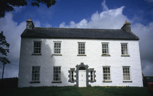 Hollywell HouseFarm house · 1.4 mi
 Saint Attracta's Catholic ChurchChurch/chapel · 1.8 mi
 Burren Centre KilfenoraVisitor information · 1.9 mi
 CrossCross, High cross · 1.9 mi
 High CrossHeritage attraction · 1.9 mi
 CrossCross, High cross · 1.9 miFergus River CaveCave · 2.5 mi
 Cave of the Wild HorsesCave · 3.4 mi
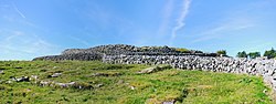 CaherconnellHeritage attraction · 3.8 mi
 Poulnabrone - Burren GeositeVisitor information · 4.2 mi
More archaeology and monuments in County Clare · All of County Clare
What do you know about this place?