What is recorded here
In the middle of Main St., towards the eastern end. On the Grace map of 1708 (O’Keeffe 2003, map 5) a building, represented by a rectangle on the map, is described as a, ‘Common bakehouse and ground belonging to it’. Also indicated in the middle of the street are two other buildings to the W, the most westerly appears to have been the courthouse (TS070-040026-) and the building (TS070-040109-) immediately to the E is listed as a ‘toft’ or tenement. The bakehouse building is also depicted on Swiney’s map of 1763 (O’Keeffe 2003, map 9), as are the two buildings to the W. All these buildings had been removed by 1840 as indicated by their absence from the 1st ed. 6-inch map.
Compiled by: Jean Farrelly
Date of upload: 13 May 2015
The monument record does not grant public access. Check the route and ask the landowner before entering private land.
- What survives
- Recorded monument
Places near here
 CrossCross, Market cross · 21 yd
 T. Mocklerhouse · 50 yd
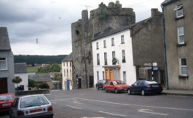 The Castle Innhouse · 50 yd
 Courthouse in FethardCourthouse · 56 yd
 Court CastleCastle · 64 yd
 Edmond's CastleCastle · 90 yd
 European YewEuropean Yew · 115 yd
 East GateMemorial · 146 yd
 Grove WoodForest · 1.2 mi
 Kilknockan HillMountain / peak · 1.2 mi
 CarrigdotiaMountain / peak · 4.3 mi
 Fethard Town Hallalmshouse · 59 yd