
What is recorded here
In the middle of Main St., towards the eastern end. On Grace’s map of 1703 (O’Keeffe 2003, map 4) there is a square structure where Main St. widens at the E end to accommodate a market. Though shown in plan, its form suggests a small stepped structure and it is possible that this formed a platform for a market cross. According to O’Keeffe (2003, 10) the market cross was replaced by a pump in 1837.
Compiled by: Jean Farrelly
Date of upload: 14 May 2014
A local church or high cross; wider significance not recorded.
The monument record does not grant public access. Check the route and ask the landowner before entering private land.
- What survives
- Recorded monument
Places near here
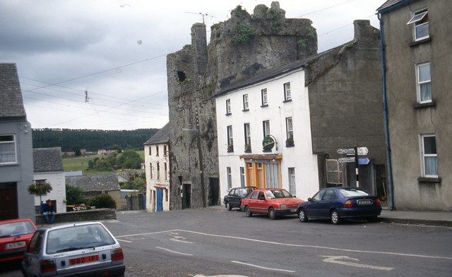 The Castle Innhouse · 37 yd
 T. Mocklerhouse · 41 yd
 Court CastleCastle · 53 yd
 Structure in FethardStructure · 74 yd
 Courthouse in FethardCourthouse · 75 yd
 Edmond's CastleCastle · 83 yd
 European YewEuropean Yew · 121 yd
 East GateMemorial · 125 yd
 Grove WoodForest · 1.1 mi
 Kilknockan HillMountain / peak · 1.2 mi
 CarrigdotiaMountain / peak · 4.3 mi
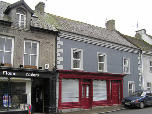 O'Sheahouse · 62 yd
Other information
Photo: Credit not shown in the picture search · Rights wording not checked; contact us if this picture should be removed