What is recorded here
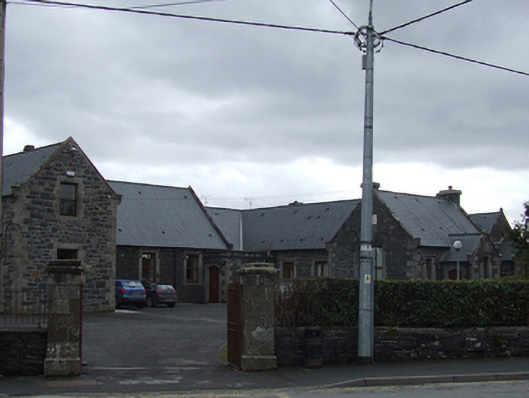
Detached U-plan multiple-bay single- and two-storey former model school, built 1848, extended c.1870 and 1882, having gabled porches to north-east blocks and flat roofed porch to internal north corner. Now in use as primary school. Pitched artificial slate roofs with ashlar limestone chimneystacks and gable copings. Snecked limestone walls with ashlar quoins, gable kneelers, and dressings to openings. Inscribed plaque and carved foliated detail to south-east gable. Square-headed window openings with carved limestone label mouldings and replacement windows. Tudor arch door openings with carved limestone hood moulding and timber matchboard doors. Square-profile ashlar limestone gate piers supporting pair of cast-iron gates and set in rubble stone walls with cast-iron railings.
Built in the mid nineteenth century on a site donated by Sir John Young, and remodelled soon after it was built by Frederick Darley, the Tudor Revival architectural design of this building is similar to that used by Darley for the large scale model he designed in Dunmanway, Co.Cork, dated 1848. It was extended later in the century using the same architectural idiom. Its Tudor Revival style brings a new architectural style to the town, and makes an attractive addition to the streetscape. A purpose built primary school, it was also a training centre for trainee teachers, who were taught the most up to date and modern teaching methods. An agricultural department was also associated with the school, to educate post primary students in best agricultural practises.
From the Buildings of Ireland (National Inventory of Architectural Heritage) record 40303030
This does not grant access. Most recorded buildings are privately owned; view them only from public ground unless the owner allows entry.
Places near here
 Bailieborough ChurchChurch/chapel · 152 yd
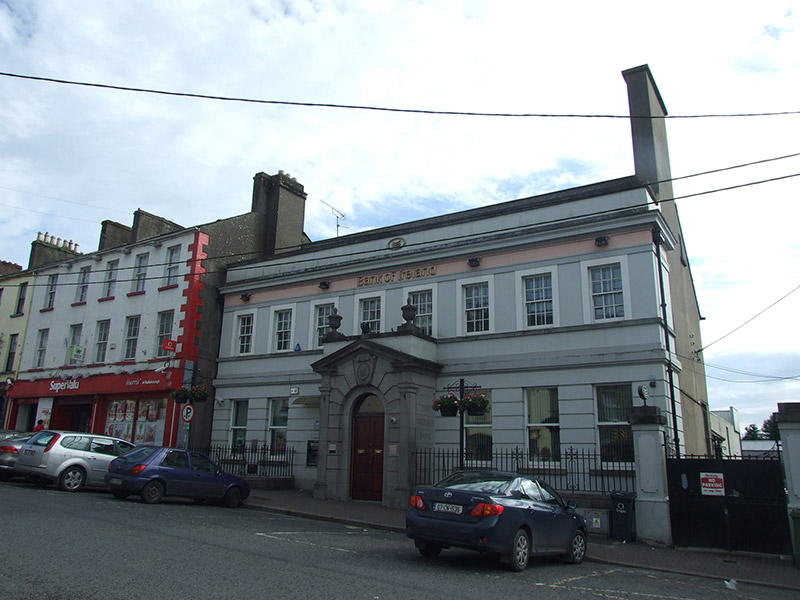 Bank of IrelandBank/financial institution · 192 ydCastleCastle, motte · 812 ydIn Memory of Patrick KiernanMemorial · 1679 yd
 Brothers GravesVisitor information · 1.0 miDrumbannan FortArchaeological place · 1.0 miBailieborough CastleCastle, unclassified · 1.1 miCastle Lake ForestForest · 1.1 miRebel HillMemorial · 1.4 miIndicatedFairy fort / earthen ringfort · 1.6 mi
 Welcome to Bailieborough DemesneVisitor information · 1.7 miDrumacarrowMountain / peak · 1.7 mi
Pictures: Olliebailie, Wikimedia Commons · CC BY-SA 4.0; National Inventory of Architectural Heritage; Oliver Dixon, Geograph · CC BY-SA 2.0
More historic places in County Cavan · All of County Cavan
What do you know about this place?