
What is recorded here
Detached five-bay single-storey railway station, built c.1890, with veranda to trackside elevation, and remains of single-bay block to south gable. Now disused. Pitched slate roof with rendered red brick chimneystacks. Red brick walls. Square-headed openings, now boarded up, with black brick block-and-start surrounds,…
Read the whole record
From the Buildings of Ireland (National Inventory of Architectural Heritage) record 30408504
Places near here
Photo credits
- National Inventory of Architectural Heritage
- Maker not stated on source page, commons.wikimedia.org
- Maker not stated on source page, www.youtube.com
- Maker not stated on source page, www.myhome.ie
- Maker not stated on source page, en.wikipedia.org
- Kmcnamee, Wikimedia Commons · CC BY-SA 4.0
- Maker not stated on source page, www.pinterest.com
- Photographer not named on Sarsfields GAA club page, www.sarsfields-gaa.com
- Dirk Huth, Wikimedia Commons · CC BY-SA 3.0
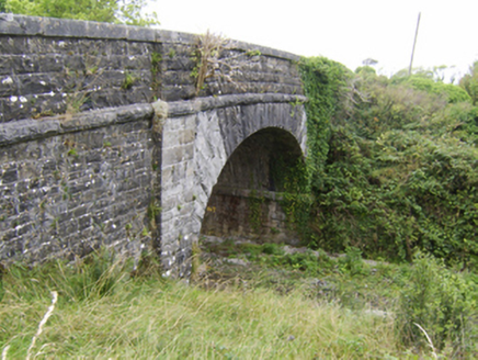 bridge190 yd
Explorer Tom Bridge in Attimonmore South smells like old rust and railway history, according to Tom’s very sensitive nose on the…
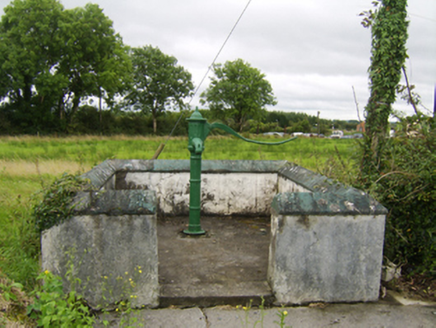 water pump206 yd
Explorer Tom Water pump in Attimonmore South has a handle so curvy it could win the county fair for best design. It’s been pumping…
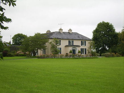 Attymon HouseHouse · 497 yd
Explorer Tom Attymon House has such a long list of former names that it’s given up trying to remember its own identity, which is…
 Bullaun stone in KillimorBullaun stone · 1.1 mi
Explorer Tom Bullaun stone in Killimor smells like wet moss and ancient secrets, according to my expert nose. It’s just a granite…
 Killimor CastleCastle, tower house · 1.2 mi
Explorer Tom Killimor Castle in Galway would post on social media about its river views and complain about the humidity. Dermott O…
 Laragh Castle in ruinsCastle, unclassified · 1.2 mi
Explorer Tom Laragh Castle in Laragh is basically a rumor with a boggy address. Shane O'Daly owned it, but by 1839 it was just a…
 Fairy fort / ringfort in LaraghFairy fort / ringfort · 1.4 mi
Explorer Tom Laragh’s ringfort is poorly preserved with a bank that stops where the field boundary cuts in, because 1982 was a bad…
 Killimordaly Hurling Club GAA pitchGAA ground · 1.5 mi
 Saint Enda's National SchoolSchool · 1.8 mi
Explorer Tom Saint Enda's National School has been dodging that bishop since 1887. The kids probably ran off before he even finished…
 Fairy fort / ringfort in GannowFairy fort / ringfort · 1.9 mi
Explorer Tom Raford River is flowing past this ringfort in Gannow, which has a causeway that looks suspiciously like a shortcut. The…
 Sarsfields GAA, CastlebinGAA ground · 4.9 mi
 Turoe StoneHeritage attraction · 5.1 mi
Explorer Tom Turoe Stone in County Galway hosted a dance party three thousand years ago where everyone went too far and forgot how…
More historic places in County Galway · All of County Galway

What do you know about this place?Tap to add a comment or ask a question