
What is recorded here
At the E end of a NW-SE section of the Esker Riada and guarding the W approaches to the bridge (RO056-018001-) at Shannonbridge. An earthwork of two redoubts was built in 1804 and upgraded to the present works by 1817 to a plan of Lt. Col. Fisher. It was built, together with a barracks on the E side of the River…
Read the whole record
From the National Monuments Service (Archaeological Survey of Ireland) record RO056-016
Places near here
Photo credits
- Joseph Mischyshyn, Wikimedia Commons
- Darrin Antrobus, Geograph · CC BY-SA 2.0
- National Inventory of Architectural Heritage
- Maker not stated on source page, www.geograph.ie
- Maker not stated on source page, commons.wikimedia.org
- Willow, Wikimedia Commons · CC BY 2.5
- Maker not stated on source page, www.visitgalway.ie
- Kmcnamee, Wikimedia Commons · CC BY-SA 4.0
- Maker not stated on source page, readymap.irish
- Maker not stated on source page, www.dreamstime.com
 Shannonbridge FortVisitor attraction · 115 yd
Explorer Tom Shannonbridge Fort stands on the Roscommon bank of the Shannon, eyeing the stone bridge as though a French army might…
 Shannonbridge BatteryFortification · 116 yd
Explorer Tom Shannonbridge Battery in Raghrabeg would teach history by throwing dirt at you until you understood why Frenchmen were…
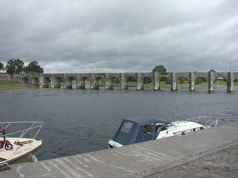 Shannon BridgeBridge · 234 yd
Explorer Tom Shannon Bridge is one of the finest viaducts in Ireland with sixteen massive arches that span the Shannon like they own…
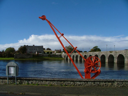 machinery325 yd
Explorer Tom Machinery in Cloniffeen is an old canal crane standing guard like a rusty sentinel at Shannonbridge. It used to lift…
 Bishop's IslandsIsland · 1.5 mi
Explorer Tom Bishop's Islands in County Galway are guarding a scandal so old it’s fossilized into the rock itself. The locals…
 Fairy fort / ringfort in CreevaghFairy fort / ringfort · 2.7 mi
Explorer Tom Fairy fort / ringfort in Creevagh was found in 1987 by a surveyor who probably had coffee and bad luck. It’s not…
 European ash3.3 mi
Explorer Tom European ash does weird things when nobody’s looking, like rearranging its own shadows to look like a different tree…
 Killeen Fort (graveyard)Graveyard · 4.0 mi
Explorer Tom Killeen Fort isn't really a fort at all, it's just a graveyard with a very impressive ego and a secret talent for…
 Brackloon CastleCastle, tower house · 4.1 mi
Explorer Tom Brackloon Castle overlooks bogland to the east and is surrounded by a stream on three sides. Owen Omadyn owned it in…
 Meelick - Eyrecourt GAA pitchGAA ground · 4.9 mi
 Doon GraveyardGraveyard · 5.5 mi
Explorer Tom Doon Graveyard in County Galway really hates people who wear bright yellow jackets. It finds them too distracting for…
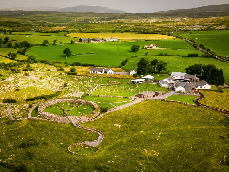 Fairy fort / earthen ringfort in LisdooaunFairy fort / earthen ringfort · 6.0 mi
Explorer Tom Lisnagry has a long-standing feud with the rain because it keeps washing away its outer bank’s dignity. It’s…
More archaeology and monuments in County Roscommon · All of County Roscommon

What do you know about this place?Tap to add a comment or ask a question