What is recorded here
Road bridge (original Wth 5.8m; long axis E-W) spanning the Owbeg River. Built of random rubble. Single segmental arch with roughly shaped voussoirs spans river. Two segmental dry arches, with roughly shaped voussoirs, on floodplain to the W. Two pointed cut-waters on upstream (N) side of piers rise to height of arches. The bridge has recently been extended on the downstream side. The surviving parapet wall has vertical stone coping.
Compiled by: Elizabeth Byrne, Ursula Egan and Sheila Ronan, Archaeological Survey Unit, University College, Cork.
Date of upload: 30 May 2011
The monument record does not grant public access. Check the route and ask the landowner before entering private land.
- What survives
- Recorded monument
Places near here
 Abbey Oriel (Site of)Ecclesiastical site · 439 yd
 Ardtully Ho.Country house · 500 yd
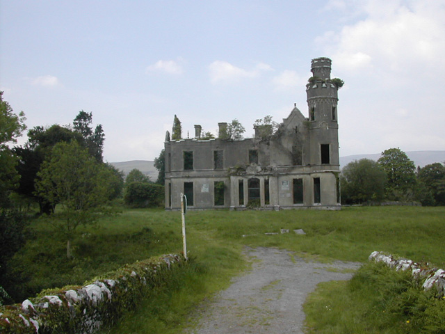 Ardtully Housecountry house · 503 yd
 Castle (Site of)Castle, unclassified · 518 yd
 European YewEuropean Yew · 543 yd
 Holy well in KilpadderHoly well · 1316 yd
 Great Southern & Western RailwayMemorial · 1.2 mi
 Battle of Callannbattle · 1.7 mi
 Kilgarvan Motor MuseumMuseum · 1.9 mi
 KnockbrackMountain / peak · 2.2 mi
 Shanagarry Castle (Site of)Castle, unclassified · 2.7 mi
 Hidden Valley Pet FarmHeritage attraction · 2.9 mi
Other information
Photo: Credit not shown in the picture search · Rights wording not checked; contact us if this picture should be removed