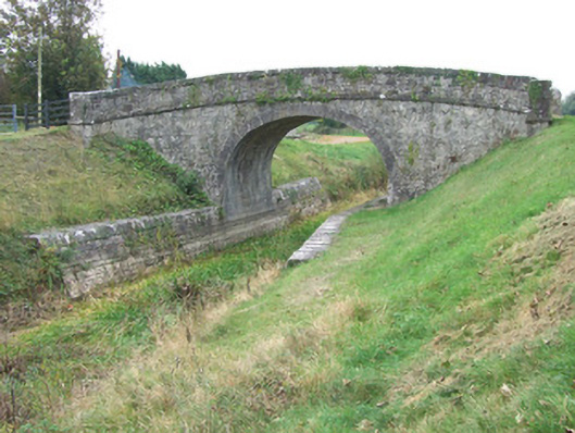
What is recorded here
Single-arch humpbacked canal accommodation bridge carrying small road over Royal Canal, built c. 1815. Round/elliptical-headed arch with dressed ashlar limestone voussoirs and dressed ashlar limestone masonry to barrel. Rendered finish (now failing) over rubble stone construction with cut limestone string course at road/deck level. Rendered finish over rubble stone construction to parapets with curving ends terminated in dressed ashlar limestone piers (on square-plan). Dressed limestone coping over parapet walls. Towpath to west bank of canal with dressed limestone retaining walls to canal banks (east and west). Rubble stone wing walls to ends of parapets. Located to the southwest of Killashee.
A typically well-built canal bridge, which is a valuable part of the extensive canal-related built and industrial heritage of County Longford. Although humble in form, this structure has a simple and functional elegance. It is robustly built in good-quality stone masonry, which is testament to the long-term ambitions of the Royal Canal Company at the start of the nineteenth century. It was probably built to designs by John Killaly (1766 – 1832), the engineer responsible for the construction of the Royal Canal between Coolnahay to Cloondara, which started in 1814 and was completed in 1817 (28 years after the canal work was started in Dublin. The main contractors involved were Henry, Mullins and McMahon. Although the canal is currently disused, the towpath provides a recreational amenity and this bridge affords interesting views to the pedestrian as well as being a notable feature and landmark in the landscape. It adds architectural and historical interest to the Ards area to the southeast of Killashee.
This does not grant access. Most recorded buildings are privately owned; view them only from public ground unless the owner allows entry.
Places near here
 42nd Locklock keeper's house · 436 yd
 RoadRoad, class 1 togher · 946 yd
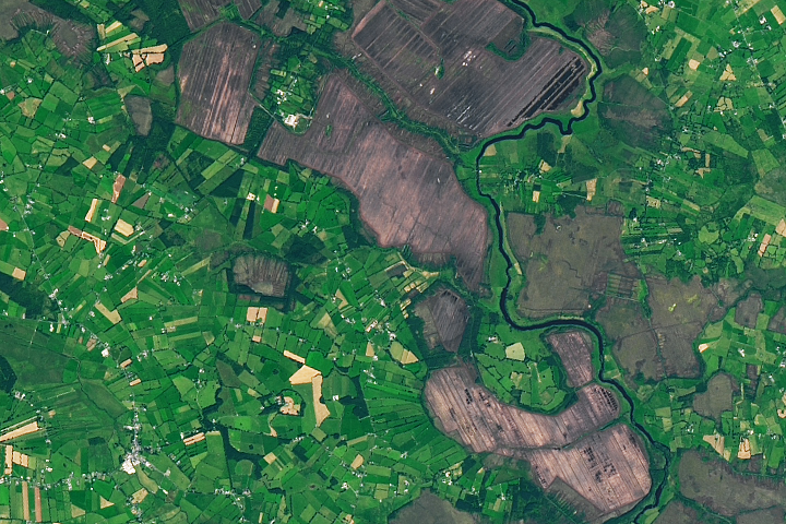 StructureStructure, peatland · 1031 yd
 PlatformPlatform, peatland · 1249 yd
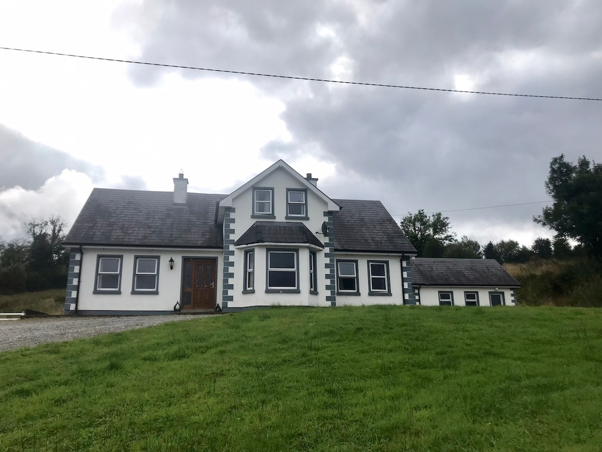 IndicatedBawn · 1514 yd
 Bawn in BallyknockBawn · 1640 yd
 Graveyard in Curry (ardagh By., Coolamber Ed)Graveyard · 3.0 mi
 White Sand WoodWood · 6.0 mi
 Wild birdsVisitor information · 6.1 mi
 Commons North WalkVisitor information · 6.2 mi
 Ballyclare IslandIslet · 6.6 mi
 Culnagore WoodForest · 6.8 mi
Other information
Photo: National Inventory of Architectural Heritage · Website use allowed for educational or private purposes with source credit