
More pictures of this place

What is recorded here
From OpenStreetMap (© OpenStreetMap contributors) n332373110
Sources for this account: Mountaineering Ireland’s Ardloughnabrackbaddy account.
Places near here
Photo credits
- Colin Park, Wikimedia Commons · CC BY-SA 2.0
- National Inventory of Architectural Heritage
- Joseph Mischyshyn, Geograph · CC BY-SA 2.0
- Maker not stated on source page, scotlanditineraryplanning.com
- Maker not stated on source page, www.pinterest.com
- John Martin, Geograph · CC BY-SA 2.0
- Kenneth Allen, Geograph · CC BY-SA 2.0
- Rod Grealish, Geograph · CC BY-SA 2.0
- Eric in SF, Wikimedia Commons · CC BY-SA 3.0
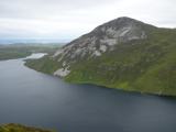 Aghla MoreMountain / peak · 875 yd
Explorer Tom Aghla More stands in Donegal's Derryveagh Mountains, a 581 metre top with Errigal in its neighbourhood and the Atlantic…
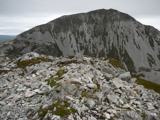 MackoghtMountain / peak · 2.1 mi
Explorer Tom Mackoght stands beside Errigal in County Donegal like the smaller sibling who knows exactly how photogenic the family…
 Droichead na hAbhna Bige [Owenbeg Bridge]Bridge · 2.6 mi
Explorer Tom Droichead na hAbhna Bige [Owenbeg Bridge] crosses a tributary of the Ray River on four flat spans, built around 1820.…
 The Bridge of TearsMemorial · 2.8 mi
Explorer Tom The Bridge of Tears carried more than traffic through Muckish Gap. Families once came this far with people leaving for…
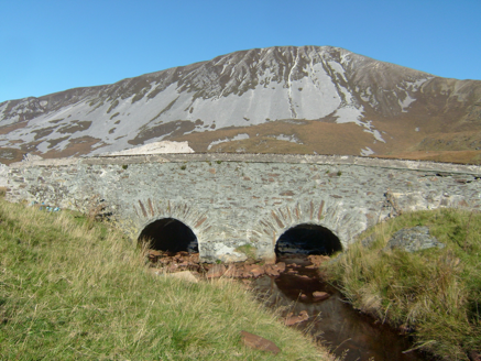 Droichead na nDeor [The Bridge of Tears]Bridge · 2.8 mi
Explorer Tom Droichead na nDeor [The Bridge of Tears] was built around 1820 on a mountain road. A poem beside it says friends and…
 Standing stone in Fána BhuíStanding stone · 2.9 mi
Explorer Tom Standing stone in Fána Bhuí looks like a giant’s pencil that got sharpened on one end! It tapers to a point at the east…
 Laracus ForestForest recreation place · 3.0 mi
Explorer Tom Laracus Forest calls its walk the Skyline Trail, which is a fairly bold promise from a place full of trees. It keeps…
 Megalithic tomb in Fána BhuíMegalithic tomb · 3.0 mi
Explorer Tom Megalithic tomb in Fána Bhuí was once known as Dermot and Grania's Bed, which sounds like a very romantic spot for a…
 Errigal Youth HostelHostel · 3.8 mi
Explorer Tom Errigal Youth Hostel in County Donegal is where dreams go to get squished under mattresses. It's cozy if you define…
 McGeady's BarPub · 3.8 mi
Explorer Tom McGeady’s Bar is sitting there looking suspiciously quiet in County Donegal, waiting for someone to ask if they’ve had…
 Astelleen Burn WaterfallWaterfall · 4.2 mi
Explorer Tom Astelleen Burn Waterfall is the reward for carrying on beyond Glenveagh Castle when everyone else has decided the…
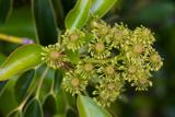 Wheel tree4.6 mi
Explorer Tom Wheel tree is the life of every wedding, standing there in the background looking incredibly dramatic while everyone…
More mountains and hills in County Donegal · All of County Donegal

What do you know about this place?Tap to add a comment or ask a question