What is recorded here
Standing stone in Fána Bhuí is a rectangular slab on a low knoll above Lough Trusk, tapering to a thin edge and marked by lichen. It stands where rough boggy terrain meets open water, simple enough to overlook yet distinct enough to remember. People may have placed it as a landmark, a warning or a gift to the lake, but the stone no longer explains itself.
On a low knoll at the N end of Lough Trusk, in a valley of rough, heather-covered boggy terrain. Truskmore, a steep-sided rocky ridge, borders the E side of the lake, and a lower, heather-covered ridge defines the W side of the valley. The standing stone is located on the level top of the low knoll; the S side of the knoll slopes gently down for c. 45m to the N shore of the lake. A stream flows N from the NE shore of the lake, c. 50m to E of the stone.
An upright, rectangular-shaped stone slab (H 0.9m; Wth 0.33m; max T 0.33m at WNW end), long axis ESE−WSW, set firmly in the ground. The stone tapers on its long axis from the broader WNW end (T 33cm) to a thin pointed edge (T 2-5cm) at ESE. The top rises gently towards the ESE. The surface of the stone is blotched with lichen.
Attached images:
DG033-005----_01.JPG Viewed from N
DG033-005----_02.JPG Viewed from S
Compiled by: Jane O’Shaughnessy
Date of upload: 21 February 2022
The monument record does not grant public access. Check the route and ask the landowner before entering private land.
- What survives
- Recorded monument
Places near here
 Hachured, DoonFairy fort / ringfort · 1725 yd
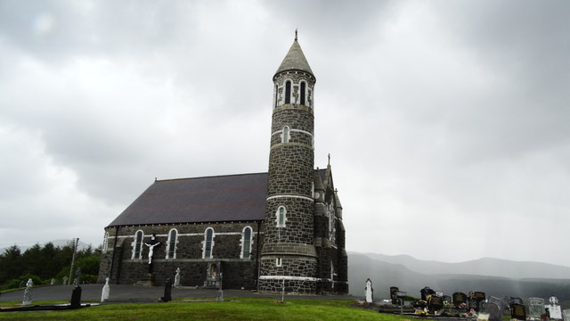 Catholic Church of the Sacred Heartchurch/chapel · 1.8 mi
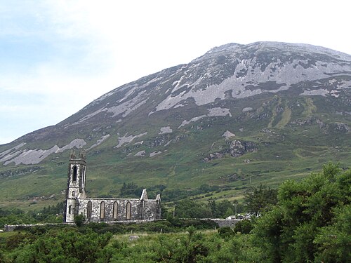 Errigal / An EaragailMountain / peak · 2.0 mi
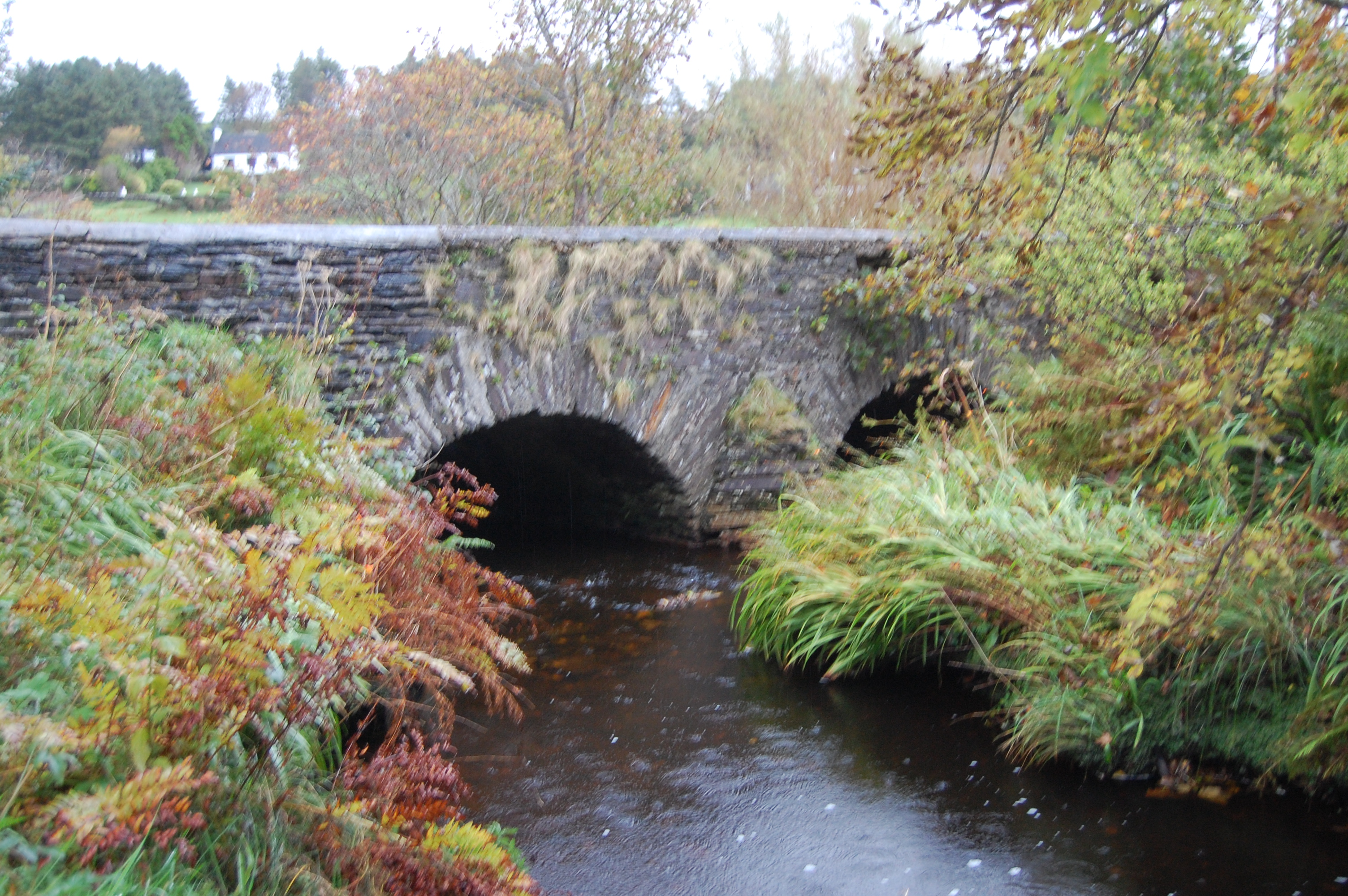 Fawnaboy Bridgebridge · 2.1 mi
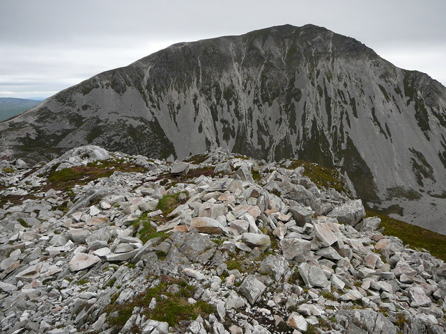 MackoghtMountain / peak · 2.2 mi
 Dunlewey CentreHeritage attraction · 2.3 mi
 Dermot & Grania's BedArchaeological place · 2.5 mi
 Maumlack Corrie HeadwallCliff · 4.1 mi
 Castle Bawne (in Ruins)Bawn · 5.5 mi
 The Bridge of TearsMemorial · 5.6 mi
 Astelleen Burn WaterfallWaterfall · 5.8 mi
 Laracus ForestForest recreation place · 5.9 mi